Seashore – Beach Line
Let us look together at some interesting facts about the determination of the Beach and Shore lines:
Procedure for the establishment of coast and beach lines
- Check by the interested party at the Public Land Service of the State for whether a beach has been defined in the area of interest and if not:
- Application by the interested party to the competent Public Land Service of the Prefecture for the designation of the Aegean Sea.
- Preparation of the appropriate topographic diagram by a surveyor.
- Deposit of the topographical diagram in 4 copies to the State Land Service of the State. This diagram will accompany the above application.
Inspection of the topographical diagram by the competent Committee for the Definition of the Beach and Seashore (no more than one month). - Determination of the beach and beach lines on the topographical diagram after a meeting of the Beach and Beach Designation Committee. The
- Commission usually meets on the spot with an autopsy carried out on the coastline.
- In addition to the Beach and Shore lines, the Commission also determines the location of the old (pre-1884) Beach and Shore line.
- The surveyor engineer draws up new plans which now include the Aegialos, Beach and Old Aegialos lines, as well as the coordinates of the vertices of these lines.
- Preparation of a determination report to accompany the topographical plan.
- The complete new charts (20 copies) are sent to the General Staff of the Navy and in particular to its hydrographic service, where the plans are checked, compared with aerial photographs of the past and approved (within 3 months).
- After the approval of the Ministry of Finance and the validation decision, the plans are published in the Government Gazette (FEK).
- The report and the diagram are posted in the municipality for 3 months.
- The registration of the designated land is made at the mortgage office.
- The rights in rem of private persons over the beach properties are expropriated by the public authorities without any further procedure and the provisions on expropriation by eminent domain are applied. The competent authority for the procedure is the Prefectural Government and in particular its planning office.
Commission for the definition of the seashore and beach
- The Head of the Land Service, the Chairman and the members.
- One surveyor and one civil engineer from the Land Registry.
- The competent port authority.
- The Director of the Planning Department of the Prefectural Government and
- The Director of Planning and Environment of the General Secretariat of the Region.

Specifications of a topographical diagram
- The scale of the survey shall be at least 1:1000 (usually 1:500).
- The diagram is altimetric and contains altitudes and contour curves according to the above-mentioned scales.
- The boundaries of the properties, the areas to be expropriated, the alleged owners thereof.
- Dependence on the triangulation grid EGSA’ 87.
- Shoreline length of at least 500 metres.
- Show in red, yellow and blue the Aegilou, Beach and Old Aegilou lines respectively as defined by the Commission.
- Table of coordinates in the national grid of the coordinates of the vertices of the lines defined.
- Stamp and signature of a surveyor or civil engineer.
The information taken into account by the Commission
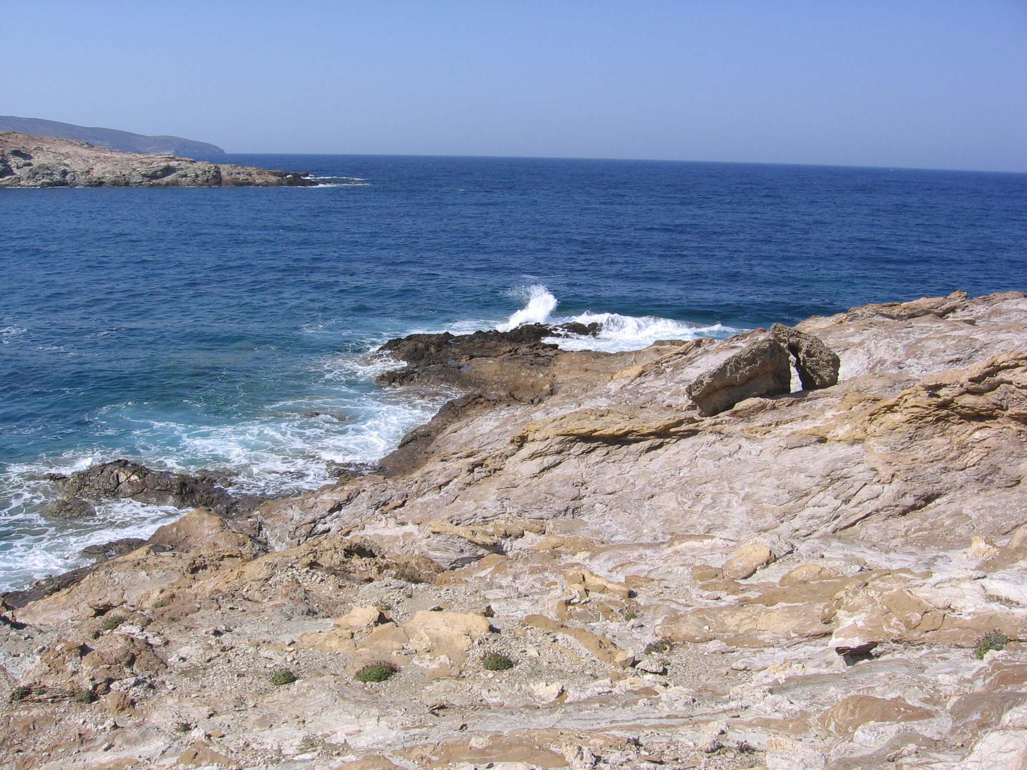
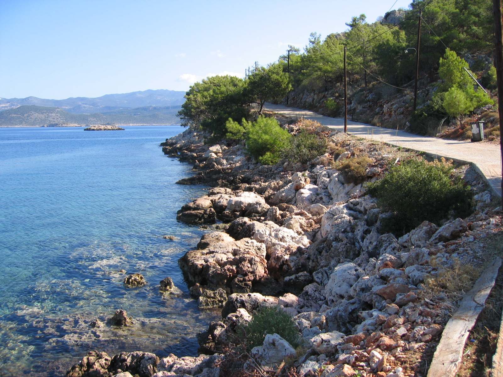
- The morphology of the terrain and its topographical relief (flat beaches or steeply sloping beaches).
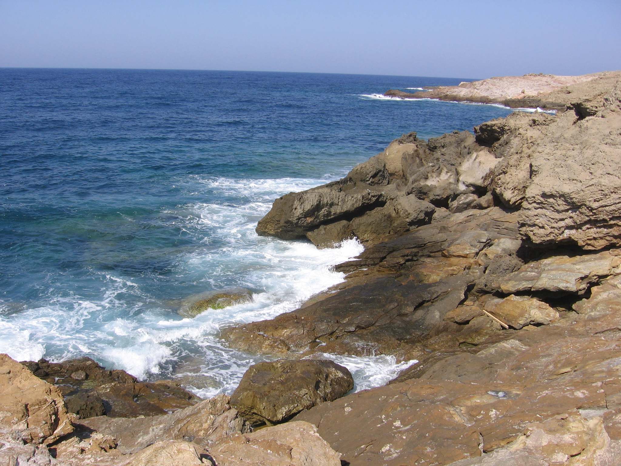
- The composition of the terrain (sandy, rocky, rocky).
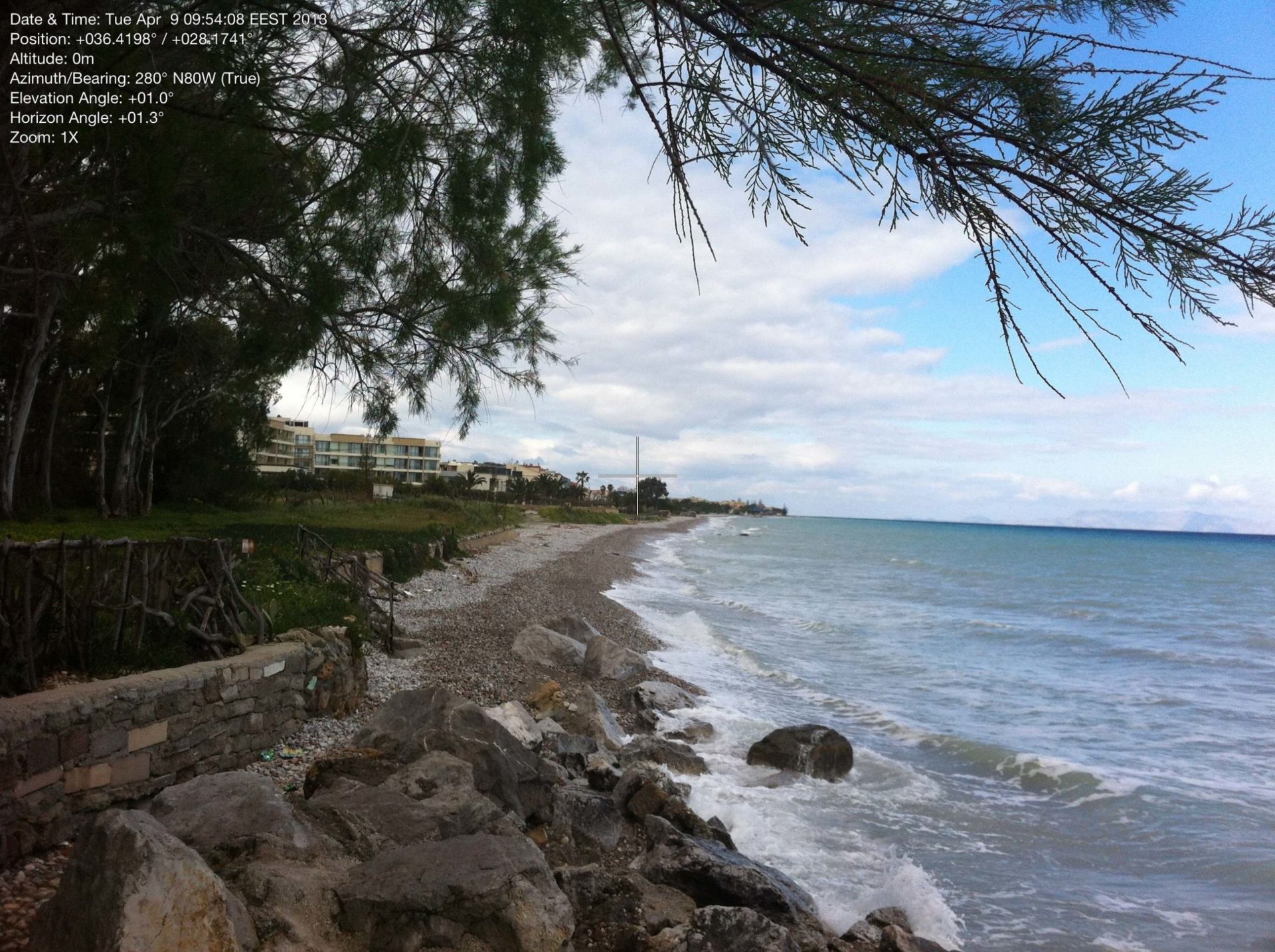
- The natural vegetation boundary indicating the position of the maximum winter wave.
- Meteorological data of the area.
- The morphology of the seabed.
- The waves at the front of the coast (how far the ‘opposite’ land is from the shore).
- The approved zoning guidelines for land uses affecting the coastal zone.
- The existence of public land (existence of a land register).
- Possibly existing sensitive ecosystems and protected areas.
Request for remedy for incorrect definition of Aegean Sea and Beach
- Preparation of a topographical map for the entire property
- Application of titles dating back to 1910
- Photographic interpretation of the land over time
- Submission of the file to the Land Registry
- Convening of the Commission
With considerable experience in these types of matters we can effectively assist you in the full resolution of your case. The preparation of Shoreline Diagrams, Photo Interpretations in general and Title Application are the main areas of expertise of our office.
Do not hesitate to request a Financial Offer from our office for the preparation of a Topographical Chart anywhere in Greece.
Useful information
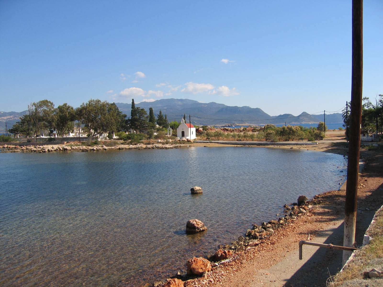
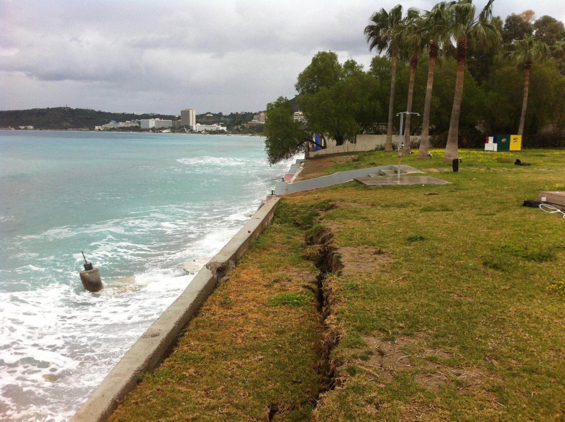
Beach is the extra zone of land between 0 and 50 metres beyond the shoreline. The beach zone serves as a communication zone between the land and the sea. In addition, this zone belongs to the public and is in public use. The purpose of this zone is free and unobstructed access to the sea.
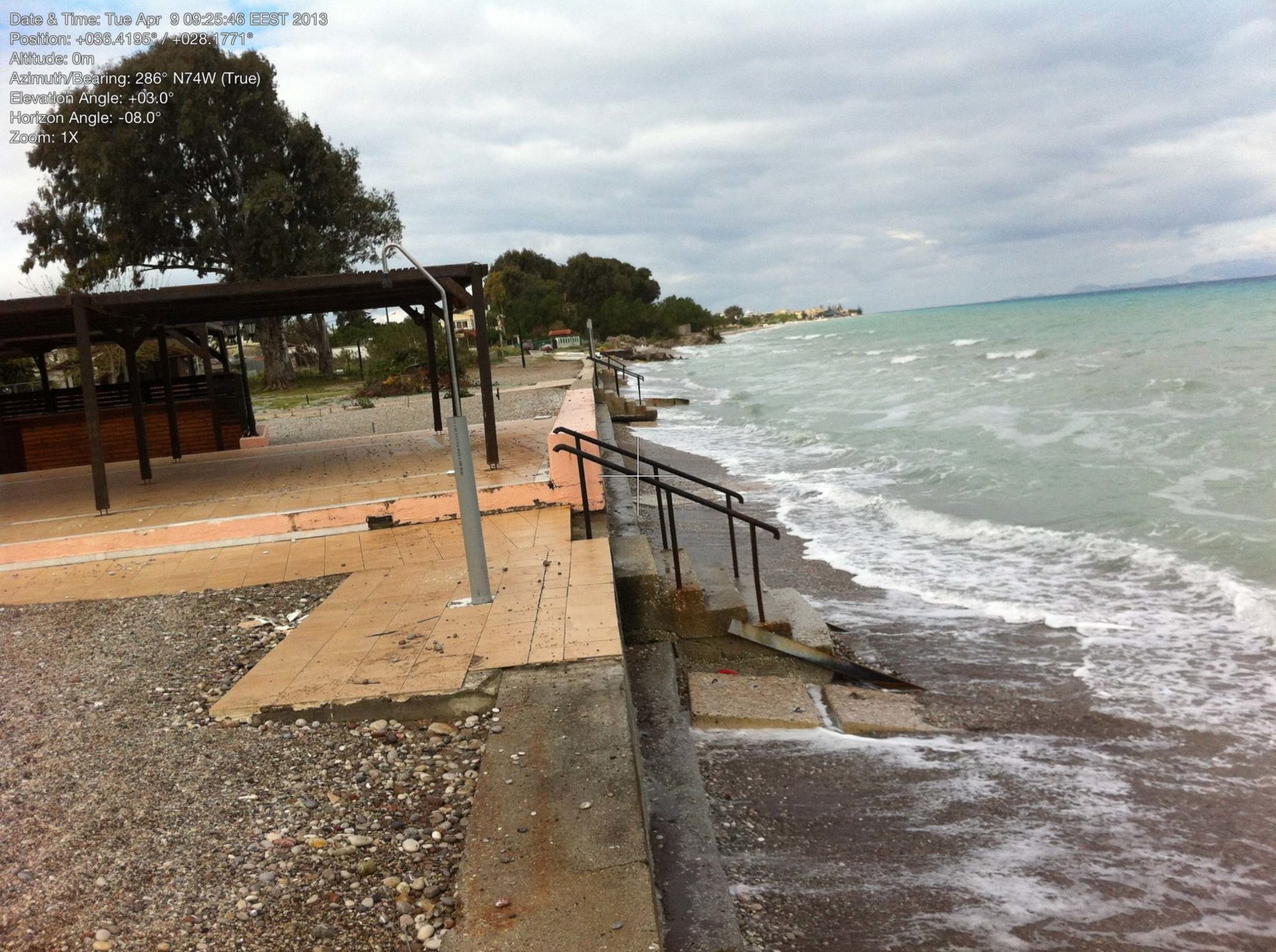
If, following natural or artificial reclamation, the position of the Aegilos line has changed and it has moved towards the sea, the area created is the Old Aegilos. This piece of land belongs to the State (private property of the State) and can be transferred to a private person by a specific procedure.
The shore of lakes and washable rivers is the land area that is wet by ordinary rises of their waters.
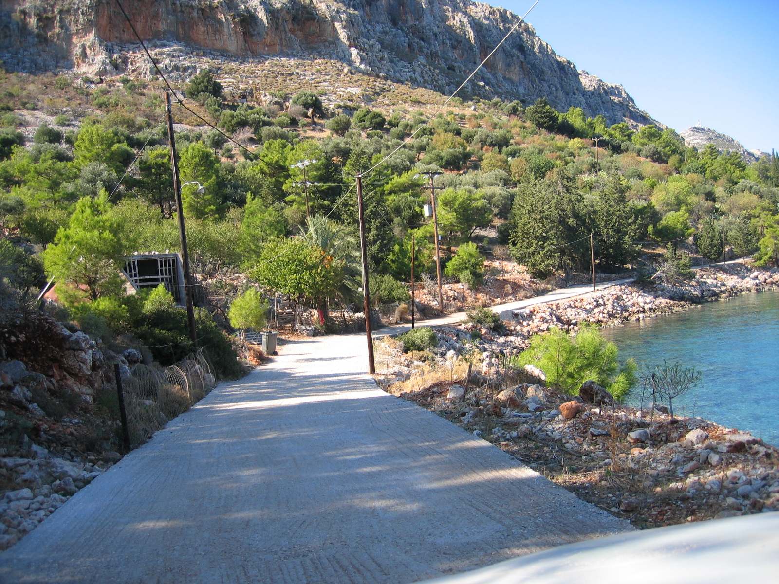
The riparian zone is the zone around the bank up to 50 metres wide.
Old bank is the area created by the change of the bank’s boundary line.
Port is an area of land and sea, together with works and equipment, which allow, in particular, the reception of all types of watercraft and pleasure craft, the loading, storage, reception and forwarding of their cargo, the handling of passengers and vehicles and the development of business activities directly or indirectly related to maritime transport.
Port works are those which are carried out wholly or partly on the foreshore, bank, beach or riparian zone, in the sea, on the seabed and on the subsoil of the seabed, as well as those which result in the shaping or alteration of such areas or which are provided for by the provisions on port funds.
Φορέας διοίκησης και εκμετάλλευσης λιμένα είναι κάθε δημόσιος φορέας, ή φορέας της Αυτοδιοίκησης, ή ιδιωτικός, ή μικτός φορέας που έχει, κατά νόμο, την ευθύνη της διοίκησης και της εκμετάλλευσης λιμένα.
See the studies prepared by XYZ for the Definition of Beach & Shore Lines


Contact us!
It is advisable to have someone with you who knows the property boundaries. It will be useful to have with you old topographic maps and anything related to the property (contracts, building permit plans, expropriation plans, classification deeds, cadastral charts, etc.). In case of a large area, wear comfortable clothes and shoes because we will have to walk on the property’s contour to find its boundaries.
