Industrial Applications
SPATIAL SCANNING
LASER SCANNING AND PHOTOGRAPHY
The scanner captures millions of points, which are georeferenced and combined with photography done with the latest state-of-the-art equipment. They are processed using specialized software programs on powerful computer systems.
MODELING
The models have the high fidelity photographic texture of the actual space or object.
VIRTUAL TOUR OF SITES
Remote users will feel like they are actually there, making their experience easier without travel costs.
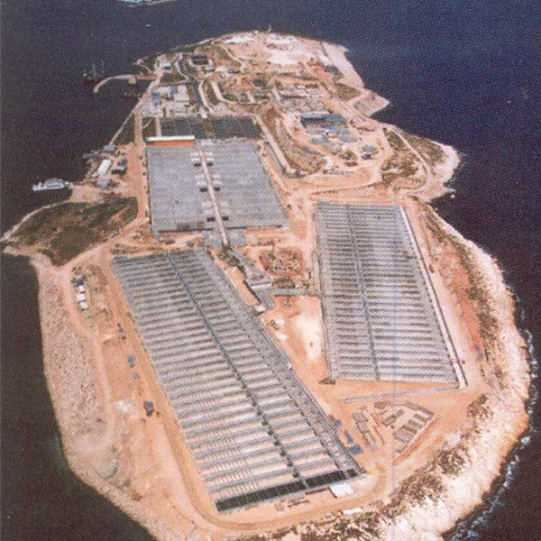
Applications in Damage Restoration – Construction of New Sections
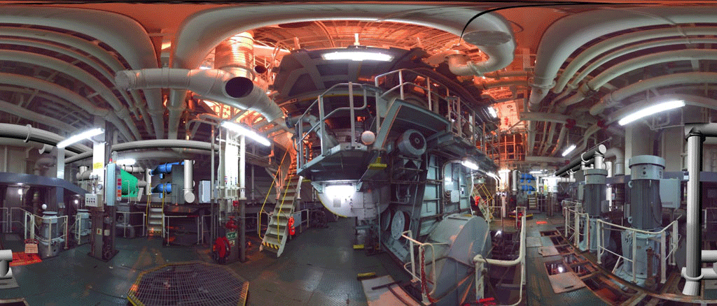
Complex impressions of interiors, with many installations and details
3D model creation 3D model export – 2D drawings
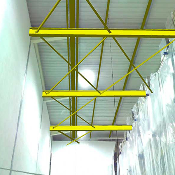
Modelling of indoor and outdoor spaces in combination
As Built” documentation drawings
B.I.M. (Building Information Modeling) Linking the 3D drawings to the facility database
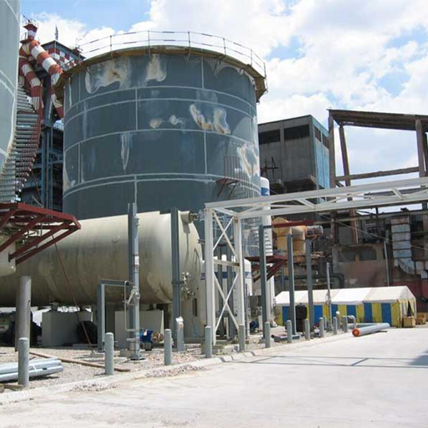
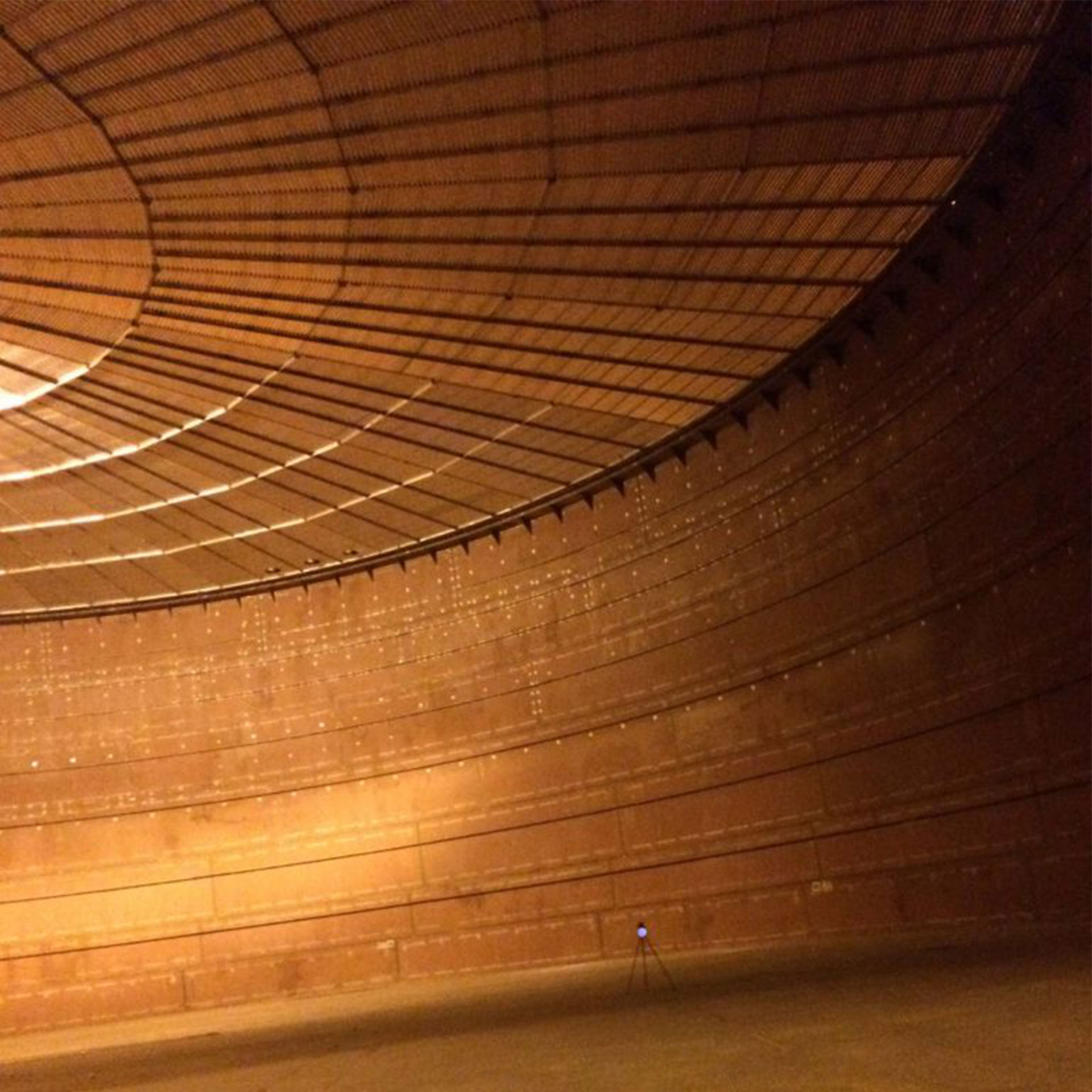
Tank impressions and distortion control
Visual Inspection: Explore the facility remotely and review all the linked information for each part of the facility
Monitor the project together with remote partners


Contact us!
It is advisable to have someone with you who knows the property boundaries. It will be useful to have with you old topographic maps and anything related to the property (contracts, building permit plans, expropriation plans, classification deeds, cadastral charts, etc.). In case of a large area, wear comfortable clothes and shoes because we will have to walk on the property’s contour to find its boundaries.
