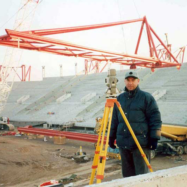
Construction Setting Out
Control point engravings

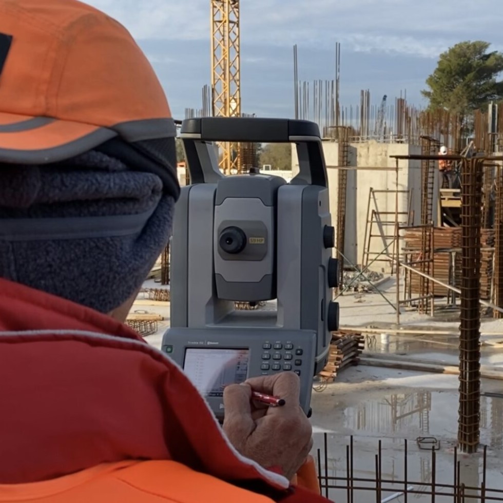
Excavations with robotic geodesic stations
The topographic mapping of the Existing Situation is done with the “classical methods” so that the determination of both the position of the point horizontally is better than 0.5cm, and the elevation is better than 1cm absolute accuracy.
In order to increase productivity, the survey shall be carried out without an observer and using Robotic Geodetic Stations. The Robotic Geodetic Station shall incessantly follow the specified sophisticated 360° active prism. A Geodetic Satellite Receiver can be added to the prism array, which communicates with the Robotic Geodetic Station controller and the latter is informed of the position of the prism (and follows it despite the presence of possible obstacles).
The engineer communicates with the office via UHF (with headset so his hands are free).
The method is considered the most suitable for large sites with a high volume of engravings.
Particular importance is given to the use of experienced XYZ assistants because the final accuracy of the engravings is implemented by the assistant.
The engraving is always completed with the recording of the engraving, i.e. with the recording of the engraved point.
The robotic instruments used by XYZ are equipped with a function for indicating the position of the engraved point with a bright red laser beam. This method reduces to a minimum the time required to materialize the points on the ground.
Operations with GNSS geodetic satellite receivers (GPS)
These receivers are connected (via UHF or GSM or long range blue tooth) to a GNSS real time kinematic geodetic base installed at one of the control points.
In this way the absolute positional accuracy of each point is better than 1,5 cm and the absolute accuracy of the altitude of each point is better than 3,0 cm. The accuracy can reach levels of 0,8cm horizontally and 1,5cm vertically due to the complexity of the system but it is not used in the construction of buildings and other concrete or metal structures.
This method is used in uncovered areas without high vegetation and away from buildings.
An operator is an experienced surveying engineer who operates the system and maps the soils or layered materials or site boundaries, etc. The instrument is connected to a special construction site control which is held by the operator in a carbon fibre rod arrangement. The controller via GSM can have a direct connection to the office and at the same time its measurements can be visible in the design programs.
The communication between the engineer and the office is continuous via UHF network.
Through the software installed on the controller, calculations of the deviations of the realized state from the theoretical one can be made automatically and directly. Thus both the engineer on site and the office are immediately informed about the existing situation (As Is or As Built) and can take action without delay.
The method can be combined with the robotic capture method as mentioned in the description of this method.
Beach - Seashore
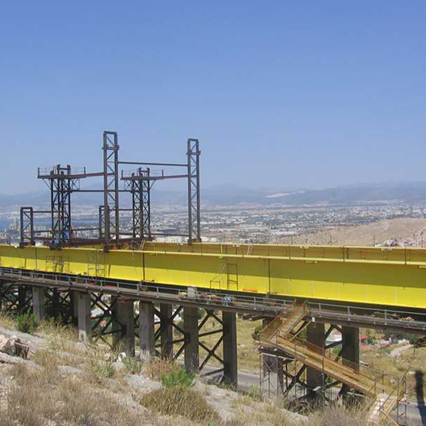
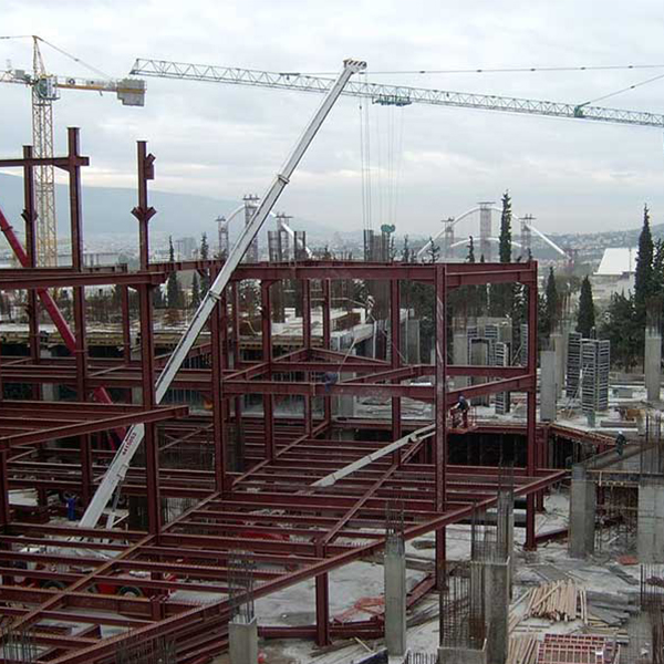
Construction Site Support
Our Projects


Contact us!
It is advisable to have someone with you who knows the property boundaries. It will be useful to have with you old topographic maps and anything related to the property (contracts, building permit plans, expropriation plans, classification deeds, cadastral maps, etc.). In case of a large area, wear comfortable clothes and shoes because we will need to walk the property’s contour to find its boundaries.
