Defining the boundary line of a stream
Conditions
- Topographic – altimetric diagram dependent on a national coordinate network (EΓΣA ’87)
- Technical Report proposing the stream boundaries based on:
- Hydrological data – study
- Hydraulic data – study and
- Environmental data – study accompanying this technical report. An application for such a determination may be made by a natural person (private individual) to a first-tier local authority or the relevant Prefecture or Region or the Ministry of Environment.
Procedure
The private person commissions an engineer who is entitled to draw up a topographic – altimetric dependent on the National Coordinate Network, a diagram, as well as the preparation of an appropriate technical report.
In the aforementioned topographic diagram the boundaries are determined by the competent authority which may be:
Ministry of Environment
The Ministry of Environment (Ministry of Environment)
The Ministry of Environment (may be the Regional Environment Agency or the Local Government Authority)
Local Local authority of the first level
The polygonal lines surrounding the flood lines, the banks of the stream, as well as natural or technical features that form part of the stream are defined.
The validation of the designation is done by a decision of the Secretary General of the Region or the Minister of Environment, a Government Gazette is issued, accompanied by the topographical diagram of the designation.
Why XYZ
With experience in such matters we can effectively assist you in the complete settlement of your case. The preparation of elevation diagrams for Stream Boundary Determination or Beach and Shore Boundary Determination are important areas of our firm’s work.
Do not hesitate to request an Economic Offer from our office for the preparation of a Topographical Chart in any part of Greece.
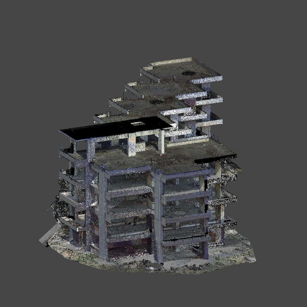
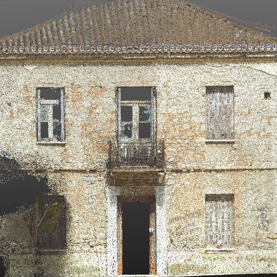
Our Projects


Contact us!
It would be good to have someone together who knows the boundaries of ownership. You should have old topographic diagrams and anything related to the property with you (contracts, building permit plans, expropriation plans, characterization deeds, cadastral diagrams, etc.). In case it is a big costume clothes and shoes because we have to walk in its contour to find her clothes.
