Structural Monitoring
Imaging with Terrestrial Laser Scanning Terrestrial Laser Scanning
The method (Terrestrial Laser Scanning) is a modern way of capturing and geometrical documentation with precision:
- buildings
- all types of static reinforced concrete structures
- concrete structures, concrete structures of all types, concrete structures of all types, concrete structures of all types of construction
- concrete structures, concrete structures, concrete structures, concrete structures of all types
- complex trusses
- particular sections of roads
- bridges
- tunnels
- architectural monuments and more generally
- special and complex structures
The possibilities
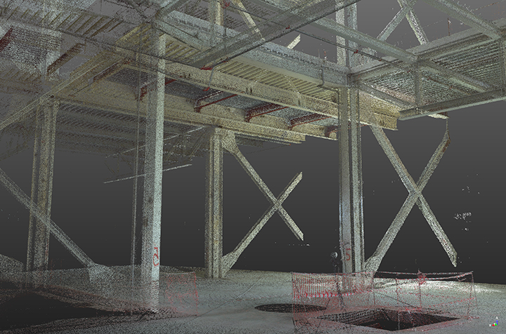
The 3D scanner in the field, for distances of up to 350 metres, scans the terrain and the digital information is transferred to the computer as a point cloud. Its technology is based on the dense recording of millions of points (in a dense canvas up to 2X2mm) in a very short time (1 000 000 points/sec).
One of the key steps of the Laser Scanner imaging process is the post-field work that takes place in the office.
The generated
Delivered drawings are “As Built Drawings” in two or three dimensions.
Because the scanner captures millions of points, it is necessary to process them using specialised software programs on powerful computer systems. west viewOne of the software programs available to XYZ for these applications is Trimble’s RealWorks Advanced Plant Tank.
Some of its capabilities are:
- The processing of hundreds of millions of points with great fluency
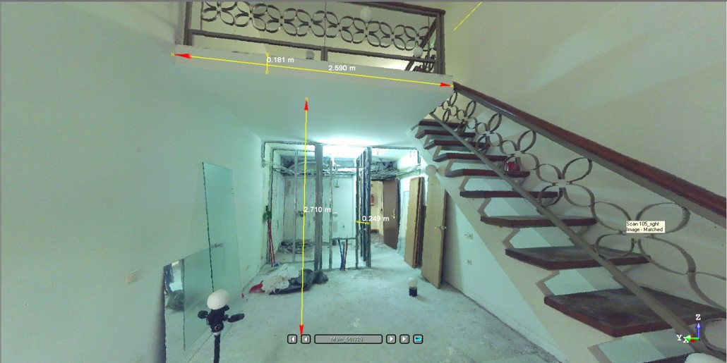
- Direct calculation of lengths, heights, angles, radii, radii, volumes and creation of surfaces of any shape
- Automatic extraction of features such as sections, pipes and metallic elements, electric cables, road lines, etc.
- Direct export of data in DXF, IGES, etc. format
- Automated possibility to compose the point cloud from multiple stops without the use of special targets
- Control of small distortion movements

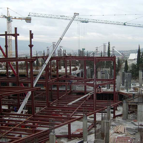
Preparation of 3D Existing Conditions Models of structural and architectural elements in buildings and structures.
Existing buildings both externally and internally will be captured using a static Laser Scanner where all architectural, structural, mechanical and other details will be captured and dense point clouds will be combined from full photographic documentation.
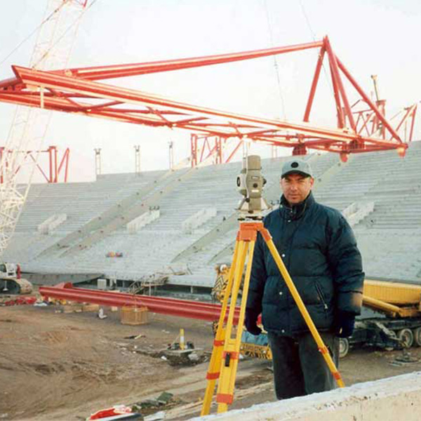
Imaging of geometrically complex structures – Precision geodetic measurements
Establishment of Building Information Models – BIM
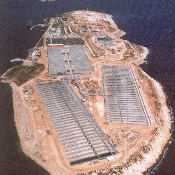
Mapping and monitoring of large civil engineering works (bridges, hubs, harbours, offshore and inland waterways, tunnels, etc.)
Direct and documented recording of incident sites.
Tunnel surveys
Printing with a spatial scanner adapted to a ``Scan & Drive`` vehicle
- The high speed of the movements
- The large range of each scan due to the large height at which the scan is made
- Complete and unquestionable (even in court cases) documentation of the images
- High measuring accuracy of everything scanned
- Complete documentation of buildings or other structures externally or internally using the scanner with tripod

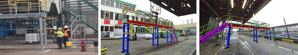
Mapping of existing complex metal structures and their virtual relocation to another site
The metal structure will be scanned and a clean dense full point cloud will be produced
From this, models of the parts of this structure will be produced. The new site will have been previously scanned in 3D at the new location.
The entire structure will be virtually ‘transferred’ to the new site where it is to be installed
After testing and checking for possible problems (intersections with existing structures) in alternative locations, the final location of the installation will be decided
The foundations of the metal structure are dug into the ground in the new location The individual metal sections are reassembled in the new location.

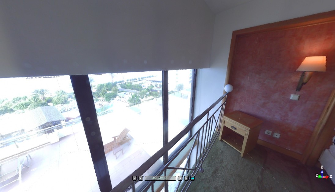
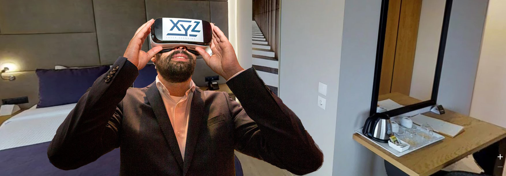
3D Virtual Tours Interactive Virtual Tour
Remote users will feel like they are there, making their work easier with less travel costs.
Also available will be high resolution 360 x 290 degree 3D images which are to be taken covering as much of the site as possible. From these, users will be able to take three-dimensional measurements and photographic shots from every angle.
XYZ specialises in creating 3D virtual tours using a variety of methods.
Here, we present four methods, as follows:


3D VIEWING provides easy-to-use 3D viewing of embedded data over the internet.
HOSTING SERVICE PROVIDED BY FARO eliminates the need to own and maintain Internet servers
Communicate and share laser scanned sites easily and securely with your partners and customers in a secure interactive environment.
PROTECT YOUR DATA
SSL encrypted communication guarantees secure information exchange. AES256 encryption on Faro servers provides state-of-the-art data protection


Construction Verification
Seashore - Beach Line
Our Projects


Contact us!
It is advisable to have someone with you who knows the property boundaries. It will be useful to have with you old topographic maps and anything related to the property (contracts, building permit plans, expropriation plans, classification deeds, cadastral maps, etc.). In case of a large area, wear comfortable clothes and shoes because we will need to walk the property’s contour to find its boundaries.
