Application of Titles
Location application of the properties, as described in the titles, on the land.
Recognition of the location of a tract of land after:
Recognition of the location of a tract of land after:
- Identification of the grantors of the owners
- Identification – verification of the place names mentioned in the titles with the actual location on the ground (through a large archive of recognised place names)
- Research on the past use of the land, through the process of photointerpretation and through a historical photographic archive
- Identification – overlap of boundaries, as identified in the past from the analysis – study of
aerial photographs (photo interpretation) - Comparison of old diagrams and identification on the ground (autopsy) with the current use of the site
- Use of diagrams, blueprints, implementation acts, actuarial charts, historical maps, documents
- Ground measurements in the study area, in order to identify stable elements, points of connection between the past and the present
- Synthesis of all the above data and technical documentation with full evidential value
- Compilation of a volume and a series of overlay drawings for this documentation
- Identification of the property
See also:
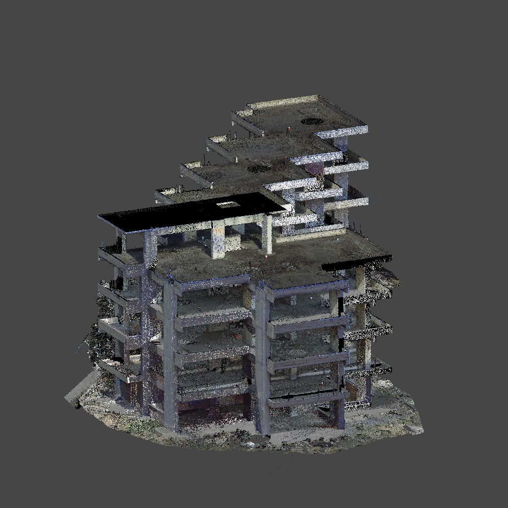
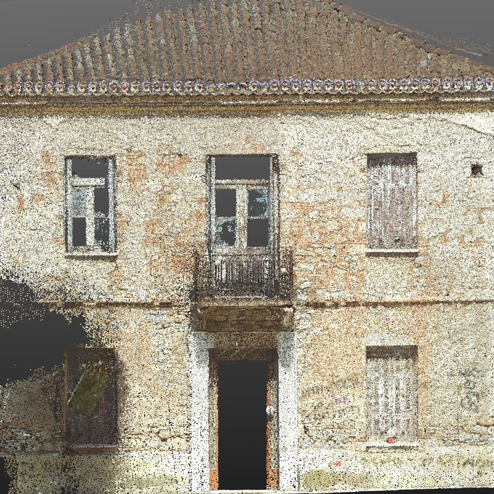
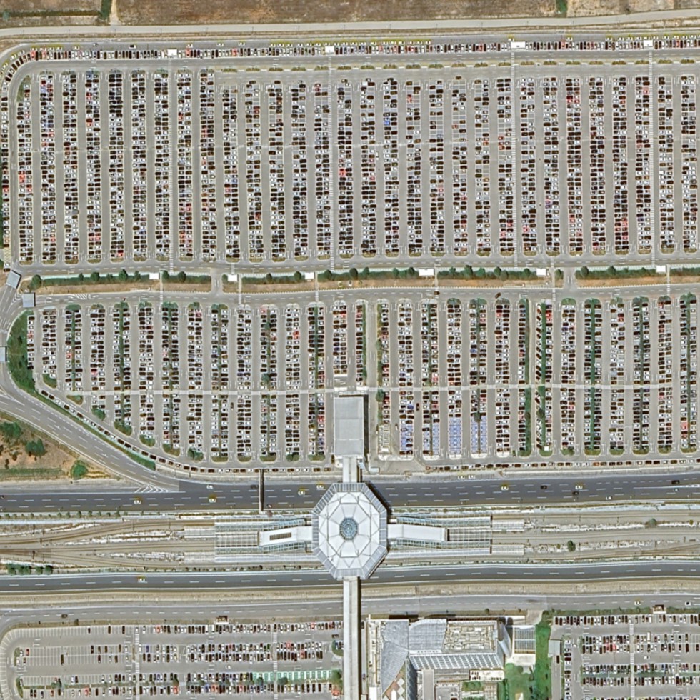
Our Projects


Contact us!
Do not hesitate to call us if you want us to be directly in the countryside to indicate the limits and measurements.
It would be good to have someone together who knows the boundaries of ownership. It will be useful to have old topographic diagrams and anything related to the property with you (contracts, building permit plans, expropriation plans, characterization deeds, cadastral diagrams, etc.). In case it is a large area, wear comfortable clothes and shoes because we will need to walk on its contour to find its limits.
