Steel Structures
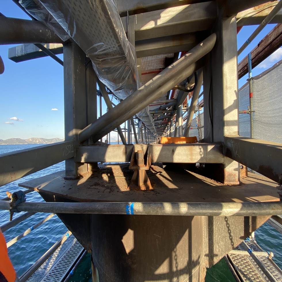
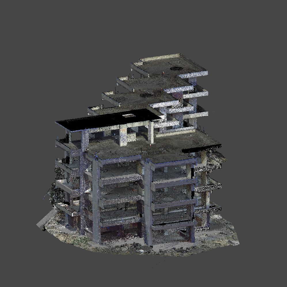
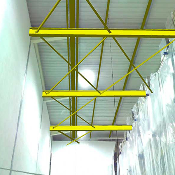
A steel structure is scanned and a dense point cloud is produced. Furthermore, the 3D Point Cloud may be modelled for individual parts of the structure.
If a virtual reinstallation is desired, the new space is accurately scanned and the whole steel structure can be virtually “moved” to the new space where it will be installed. After evaluating and checking for possible installation issues (crossings or obstructions with other structures) in different positions, the final position of the structure can be determined.
The foundations of the steel structure can be scored in their new position and each steel part can be reassembled in its new position.
The advantages and features of the method:
• Photographic documentation of the steel structure and of its destination installation space
• Recording the systems of interest with photorealistic texture
• Absolute documentation accuracy of steel structures and of their destination spaces
• Production of 2D sections, plans, elevations and cross-sections to document the process
• Production of a photographic virtual tour using virtual reality glasses for the structure in the new position.
Why with XYZ?
- Construction control capability
- 3D Design: a laboratory that combines high-resolution images with 3D models
- High Accuracy Orthoimages
- High aesthetic presentation – High quality images
- Accessibility of generated product via internet
- XYZ has ISO 9001 – 2008 “SPECIFIC 3D IMAGING LASER SCANNER” certification from Bureau Veritas
- 22 years of experience and consistency in large Technical Projects
- Why XYZ is the Three Dimensions!
Applications in Studies
- Architectural – New Building Impressions – Monument Impressions
- Geological Studies
- Studies in Mines – Mining
Applications in Construction
- Industrial Facilities
- Technical Projects
Contact us!
It is advisable to have someone with you who knows the property boundaries. It will be useful to have with you old topographic maps and anything related to the property (contracts, building permit plans, expropriation plans, classification deeds, cadastral maps, etc.). In case of a large area, wear comfortable clothes and shoes because we will need to walk the property’s contour to find its boundaries.
