Other Topographic Studies
Architectural impressions
- Floor plans
- Views of buildings and structures
- Performance of digital terrain models
- Topographic 2,5D
- Three-dimensional impressions of existing buildings
- 3D Scanning Services (Laser Scanning) for Architects

- Laser Scanning in Technical Projects
- Model Installations in 3D Scanned Space
- Three-dimensional mapping of existing metal structures
Trials
- Establishment of a Trigonometric Network
- Trigonometric Network Measurement
- Definition of Reference System
- Altimetric Network
- Inclusion of properties in the National State Coordinate Network in HATT, EGSA ’87, Geographical coordinates, 3-degree TM
- Downgrade of aerial trigonometric point.
- Calculation of Local Geoid
- Installation of a permanent reference station
- Periodic Network Recalibration

Altimetric Studies
- Spatial positioning
- Level curves
- Digital terrain model
- Three-dimensional visualisation
- Volumetric measurements of complex initial, intermediate and final surfaces
- Documentation of volumetric measurements with cross sections
Property Delimitations Property Delays
- Application (drawing) of urban/building lines.
- Implementation on the ground of buildings and structures (foundation design).
- Marking on the ground of plot-plot boundaries

Compilation of diagrams & actuarial tables
- Actuarial act
- Corrective Implementing Act
- Amendments to approved town and country plans
- Study of Reforestation Laser Scanning For Geology
- As Built Drawing.
- Settlement practice
- Polygonometry (paths)
Measurements of Photostats
Photostationary measurements with dual frequency GPS (Real time Kinematic) in the national coordinate network EGSA’87 for photogrammetric applications (production of diagrams, orthophotographs, orthophotomaps, digital terrain models).
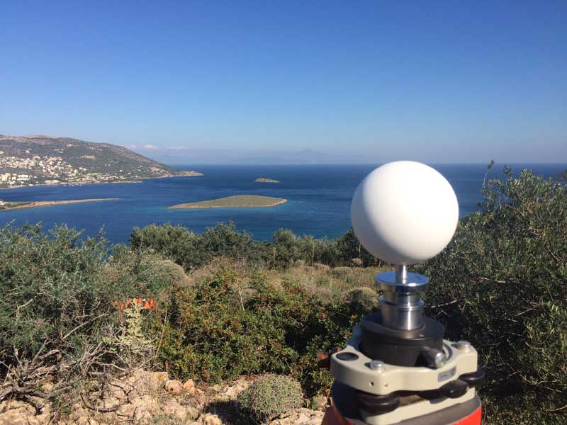
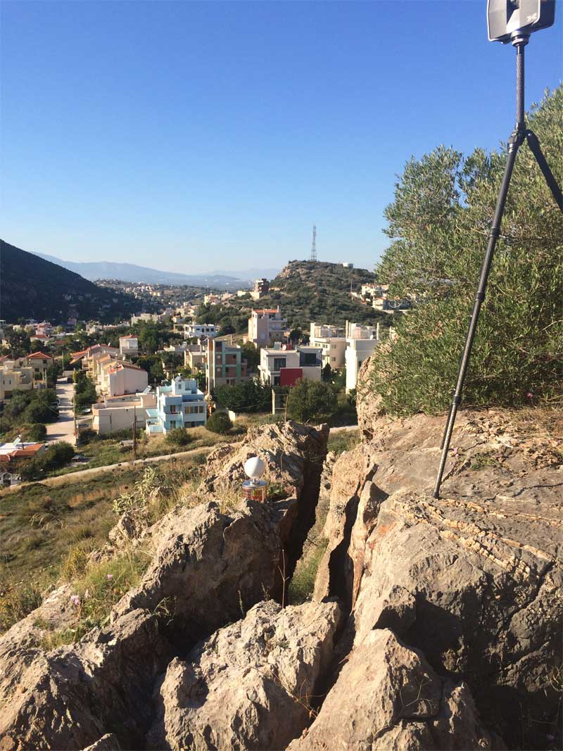
With the use of the surveying equipment of the office, but also the specialized staff, field measurements can be made directly using GPS geodetic receivers for the production of complete topographic surveys or simply for mapping roads, property contours, streams or other elements of the terrain.
Geological Studies
- Tunnel imprints
- Mining impressions – Mines
- Mapping and monitoring of large engineering works (roads, bridges, junctions, dams)
- Cave impressions
- Dangerous inaccessible slopes even with negative slopes
- Mapping of areas with difficult access
Contact us!
Do not hesitate to call us if you want us to be directly in the field to suggest boundaries and measurements.
It is advisable to have someone with you who knows the property boundaries. It will be useful to have with you old topographic maps and anything related to the property (contracts, building permit plans, expropriation plans, classification deeds, cadastral charts, etc.). In case of a large area, wear comfortable clothes and shoes because we will have to walk on the property’s contour to find its boundaries.
