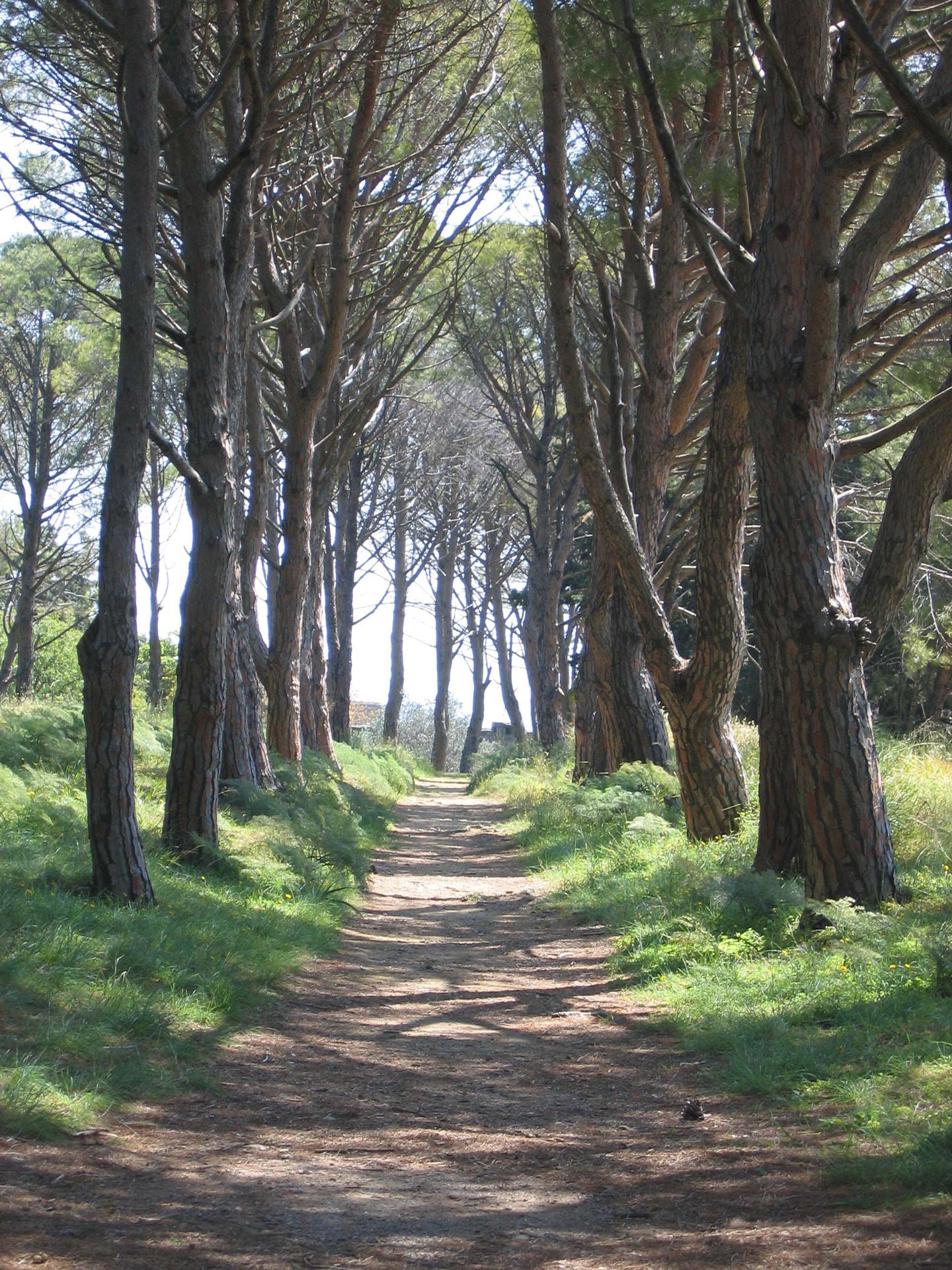
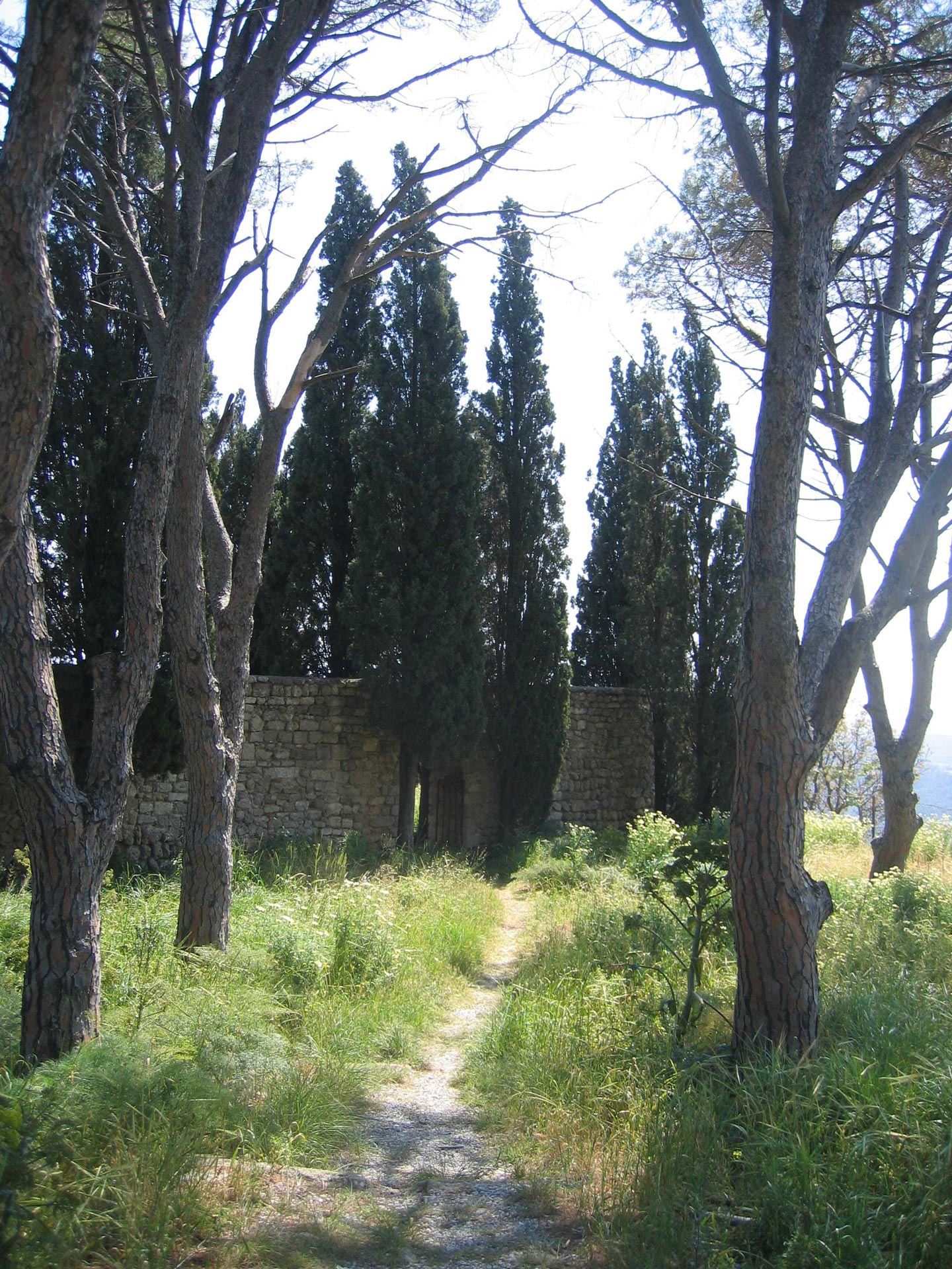
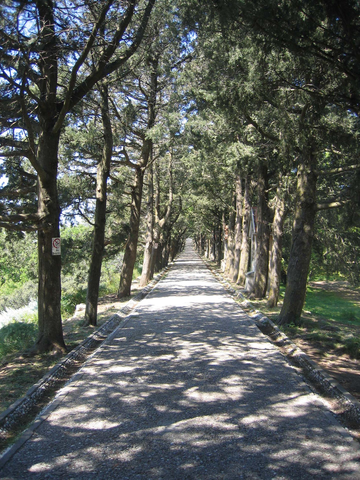
Photo interpretation – presence or absence of roads, paths
Photo interpretation - presence or absence of roads, paths
So we can identify and characterize:
- roads or
- paths of various categories
- trails
- rural roads
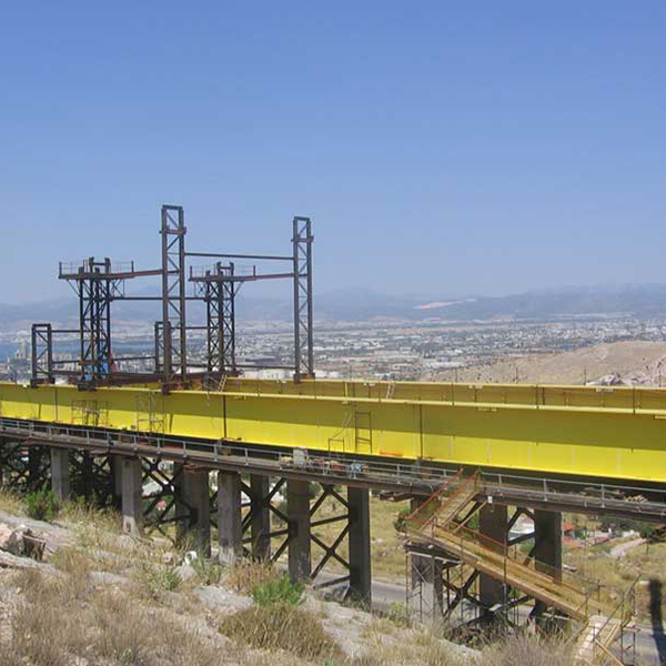
- street under construction
- abandoned roads
- vehicular streets, asphalt or cement roads
- bridges and junctions
- railway line single or double
- It is also possible characteristic figures to be measured.
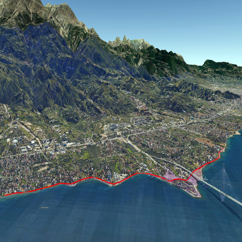
Photo interpretation survey
The existence of such pathways enables potential splitting of large properties into smaller according to the applicable limits of partition.
For example, in areas outside the city plan where the partition boundary is four (4) acres, the existence of a public road, which the initial property has facade on it, is a necessary condition for the partition. Thus, the new land parcels are required to have façade on the public highway of length twenty (25) meters.
The research of photo interpretation combined with map data, drawings, photographs and other formal documents, contracts etc.
See also:


Contact us!
It would be good to have someone together who knows the boundaries of ownership. It will be useful to have old topographic diagrams and anything related to the property with you (contracts, building permit plans, expropriation plans, characterization deeds, cadastral diagrams, etc.). In case it is a large area, wear comfortable clothes and shoes because we will need to walk on its contour to find its limits.
