Topographic diagram
The topographical diagram
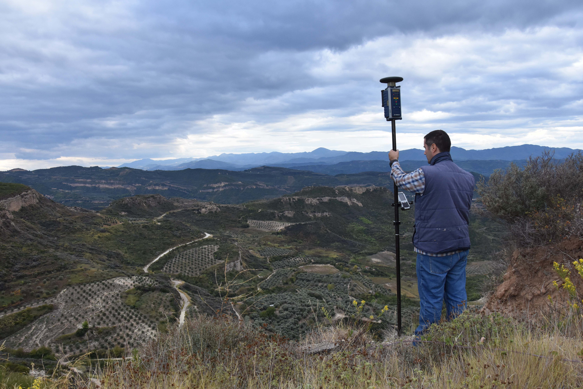
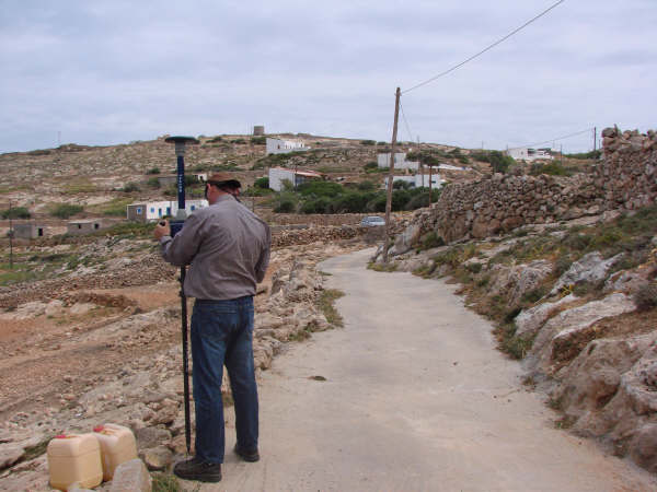
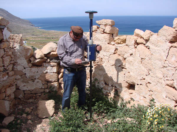
A topographic diagram or topographic plan is a Diagram – Plan that describes the terrain with its characteristics (topography, slopes, streams, rivers, coast) and with what is situated on it (buildings, barbed wire, paddocks, roads, boundaries of structures).
The usefulness of the topographic diagram
- Survey for Building Permit according to the new standards with and according to the recent building regulation
- Survey for Property Purchase which is electronically signed
- Purchase of Plots of Land or Parcels of Land, Property Transfers, Parental Benefits, other Notarial Deeds such as Inheritance Receipts
- Survey for Partition or Private Urbanization which is signed electronically
- Survey of a large area for the purpose of Private Urbanization or Forest Land Exchange
- Diagram of Geometric Changes in the National Cadastre which must be signed electronically
- In case of disagreement with the geometric data described in the first entries of the National Cadastre, a Chart of Geometric Changes must be drawn up to accompany your application for changes to these data
- Application for Treatment for Incorrect Determination of Beaches
- Redefinition of Beach & Shore lines with a diagram integrated in the National Coordinate Network EΓΣA ΄87 and according to the specifications set by the existing legislation (2971/19-12-2001)
- Survey for the Characterization Act from the Forestry Department
Other uses of the topographic diagram
- Land Survey Act in which a detailed survey of the existing situation for the whole block and a complete survey of the plots involved (scale 1:200 or 1:500) should be made. Compulsory preparation of the topographical plan dependent on the state reference system EΓSA’87
-
Certificate of Regulation of Unauthorized Construction issued in accordance with the new Law 4014/2011 on the Regulation of Unauthorized Constructions, in which it is stated and certified that no unauthorized constructions have been carried out on the property and no unauthorized uses have been installed (Art. 23§4)
-
Preparation of Technical Reports (T.E.) or Application Diagrams (D.E.) for the determination and correct application on the ground of street and building lines in an approved street plan
-
Corrective Deed of Application if the original property boundaries are incorrect and have not been correctly depicted or if there is an error in the recording of the owner’s information or title to the property
-
Determination of the boundary line of streams, brooks, streams located within or outside the town plan or within settlements that do not have a town plan are depicted in a topographic diagram (horizontal and altitudinal) at an appropriate scale (1:200 or 1:500) and the accuracy of the depiction is verified by the competent Technical Services Department, which considers the relevant diagram
- Environmental Permits for Installation Studies for Photovoltaic systems or other renewable alternative energy sources, such as Wind Energy, Geothermal, Solar, Hydropower, Biomass Production. This diagram is embedded in the ERA ’87 National Coordinate Grid, as well as in the other backgrounds required. This diagram is still used for the issuance of water use permits for existing water rights and water uses
- Monitoring of mineral extraction sites (volumetric monitoring)
- Monitoring of landfill and waste disposal sites
- Optical fiber networks
- Vertical and horizontal property constitution. The topographical diagram is necessary in every aforementioned legal transaction
- Road studies
- Specialized topographic studies for engineers

Survey cost
The cost of preparing a survey (and therefore its price) depends on many factors such as:
- The size of the property
- The size of the property – the size of the property
- The size of the property or whether it is within the boundaries of the estate
- Whether the land is within the boundaries of the estate or whether it is in the landscape or not
- Whether the survey is necessary to determine the purpose of the survey
Time to complete the survey
From the moment of assigning the compilation of a topographic diagram:
- For a simple diagram (up to 10 acres) within the prefecture of Attica the time for delivery of the diagram is five (5) working days.
- For the rest of Greece (excluding border areas) such a chart will be delivered in ten (10) working days.
- In a remote – border area the compilation and delivery of the topographic diagram does not exceed one (1) month.
This time includes:
- The Field measurements
- The field survey is carried out in the field; the collection of data from services (Town Planning, National Land Registry, National Land Registry, etc.)
- The time required for the survey (e.g. the National Cadastre, the Land Registry, the Expropriation Service or other Technical Services).
- Drawing up plans
- Fill in the form with the characteristics of your property to find out the cost as well as the estimated day of delivery of the diagram.
The time of commissioning the preparation of a topographical diagram is considered to be the time of commissioning the work by you to our company and the deposit of the agreed fee. Border areas are considered to be the counties in contact with the borders of our country with Albania, Skopje, Bulgaria and Turkey. The islands not linked to the country by a regular shipping or air connection are also considered as border regions. The collection of data from services such as Urban Planning, Forestry, National Cadastre, Expropriation Service, Land Service of the State etc. can prove to be a very time-consuming process either due to a stuck service (reduced staff, strikes etc.), or due to the specificity of the case and the lack of serious documents necessary for the completion of the full topographic survey. The topographical diagram will be delivered to the client in the predetermined time period for parallel design processes to proceed until any pending issues are also covered.
For example, for the preparation of a topographical diagram needed to make a purchase and sale of a property outside the plan, it is necessary (among other things) to obtain a Characterization Act from the Forestry Department. If such an Act does not exist, the survey will be issued and submitted to the Forestry Office to start the process. The diagram will have been delivered at the agreed time, but the final diagram with the declaration of Law 651/77 will be completed when the Characterization Act is also completed (which may take several years).
Why XYZ
- We have significant experience in compiling highly complex topographic diagrams
- Immediate response , information, offer all over Greece
- At each stage of the work you are informed of its progress
- At XYZ we deal exclusively with Topographic Studies and we have specialized in them
- As forensic experts we have constant contact with technical legislation
- We keep to the schedule we have agreed, without extra charges in the course of work, the schedule we have agreed, without extra charges in the course of work
- We follow the evolution of technology and so you benefit from state-of-the-art equipment
- We seek and provide for you cartographic material and aerial photographs from public services
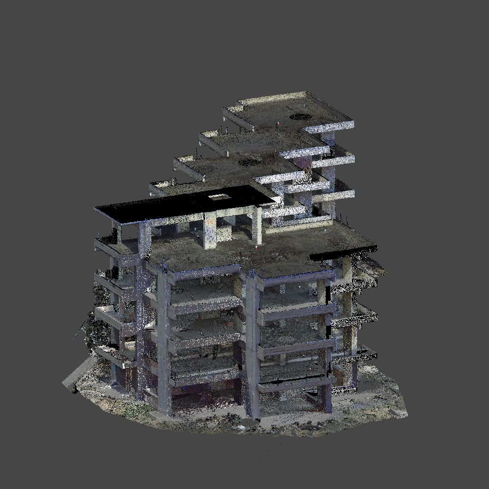
- Ensure exclusively at XYZ: 3D presentation of the work object . Because XYZ is the three dimensions
- XYZ consists exclusively of specialized surveying engineers of the National Technical University of Athens and mainly
- We love what we do


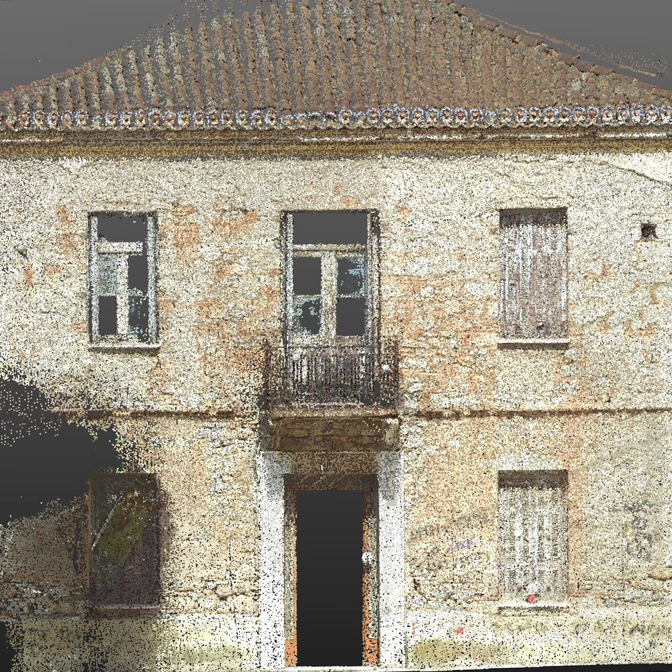
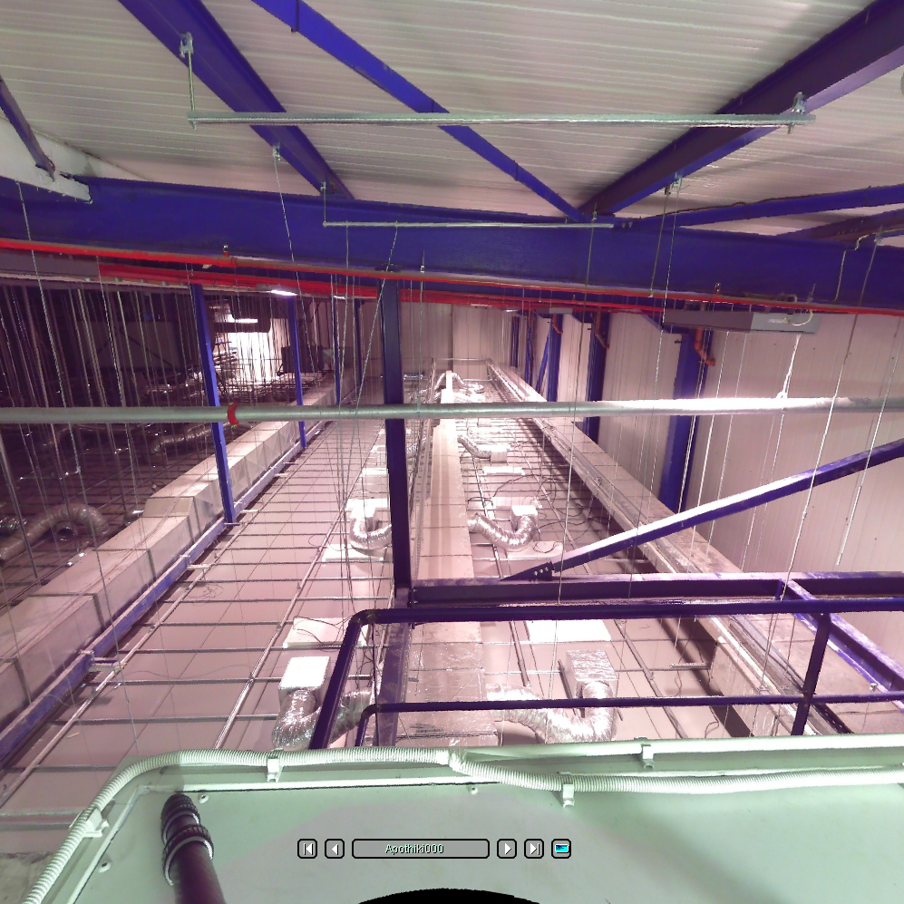
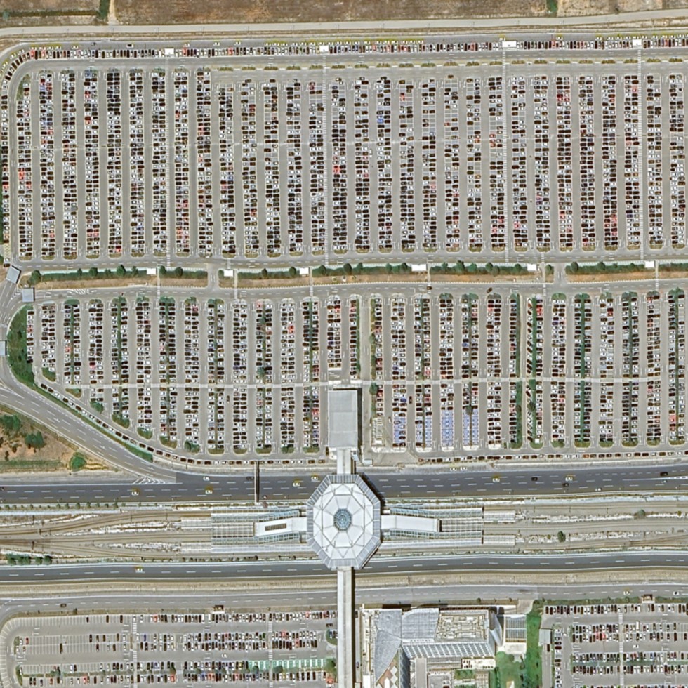
Our Projects


Contact us!
It would be good to have someone together who knows the boundaries of ownership. It will be useful to have old topographic diagrams and anything related to the property with you (contracts, building permit plans, expropriation plans, characterization deeds, cadastral diagrams, etc.). In case it is a large area, wear comfortable clothes and shoes because we will need to walk on its contour to find its limits.
