Photogrammetry – Topographic of the Past
Photogrammetry is the science of imprinting, recording, documenting and representing reality via images. It is the intermediary process via which the dimensions and the ground surface is measured and recorded.
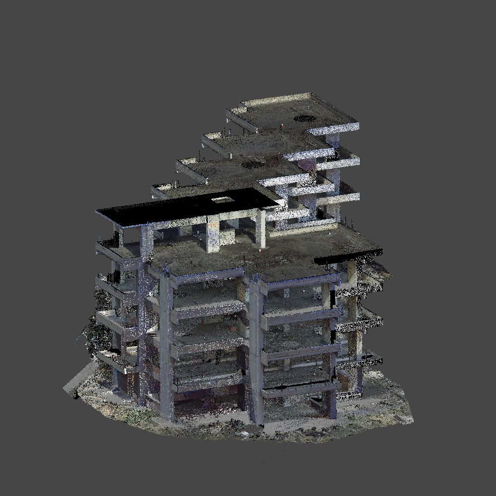
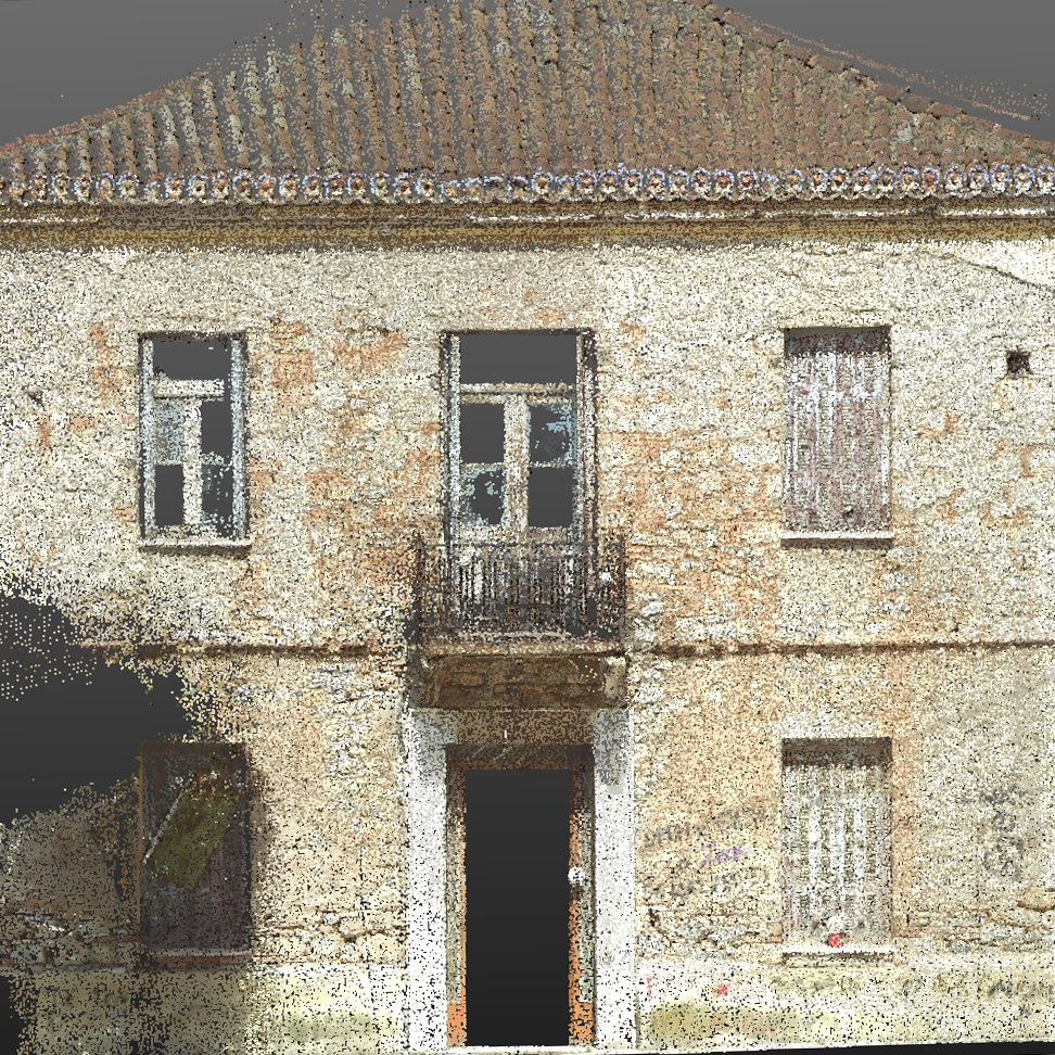
Orthophotos , Orthophoto maps or plain Maps are also compiled. Three-dimensional digital models are created and elevation diagrams are drawn.
- Photogrammetric Charts show the findings of the past, the findings of the shots, ie the images used.
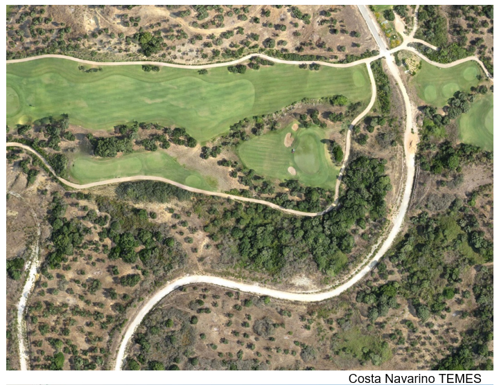
- With the latest technology equipment we produce Orthophoto maps with the maximum possible accuracy
- In this way, the findings of the images are clearly presented and compared to each observer.
- Now a comparative measurement of the sizes of the findings but also their positions in space (with coordinates) as a function of time (various aerial photographs of satellite and other images).
Orthophotos: In orthophotos we can overlap with drawings and maps or compare orthophotos with each other to see changes that have occurred at some place on the ground over time.
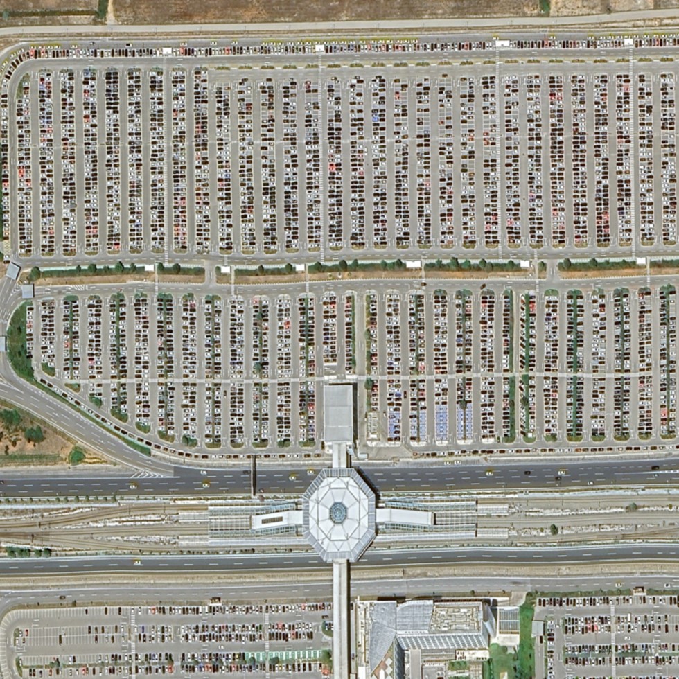
Satellite Photogrammetry: The utilization of satellite pictures with precision of down to 70cm for the creation of drawings.
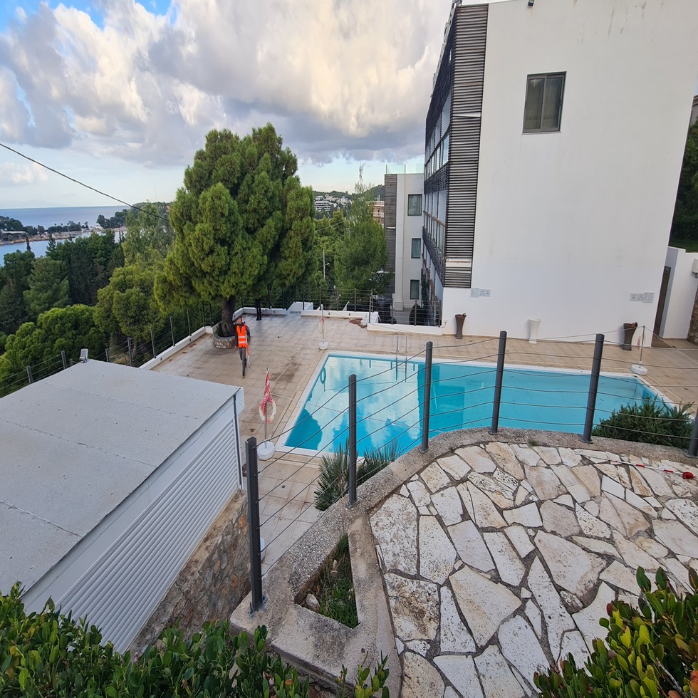
Our office uses all the above methods and creates corresponding three-dimensional designs in cases related to the National Property Archive, studies for Technical Constructions, Architecture, Archaeology etc.
Our Projects


Contact us!
It would be good to have someone together who knows the boundaries of ownership. It will be useful to have old topographic diagrams and anything related to the property with you (contracts, building permit plans, expropriation plans, characterization deeds, cadastral diagrams, etc.). In case it is a large area, wear comfortable clothes and shoes because we will need to walk on its contour to find its limits.
