Seashore – Beach Line
For the development of a beachfront, it is likely that the redefinition of the lines of the beach and the beach will be necessary for the licensing of the intended uses.
In determining the boundary lines of the Aegean, Beach or Old Aegean, the redefinition of these lines is allowed (even if they have been established by Law 2344/1940). This can be done either ex officio (by the Land Service), or upon request by the Investor.
Necessary actions are:
- Preparation of a topographic diagram for the entire property according to the specifications of Law 2971/2001 as amended and in force. Table of coordinates of the last Beach and Old Beach and as determined by the competent committee
- Survey of possible expropriations that have been carried out
- Application of titles starting from 1910 (if requested by the committee of Article 3 of Law 2971/2001)
- Photographic interpretation of the land over time (if requested by the committee)
- Submission of the file to the Land Registry and in accordance with the specifications and instructions indicated by the committee
- Presentation of the plans on a background orthophoto map
- Arranging for the composition of the Committee
The information taken into consideration by the Beach and Shore Designation Committee is as follows:
- The morphology of the terrain and the landscaped Works as well as its topographical relief (flat beaches or steeply rising beach).
- The composition of the soil (sandy, rocky, rocky).
- The natural vegetation boundary indicating the position of the maximum winter wave
- Meteorological data of the area
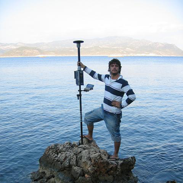
- The morphology of the seabed
- The wave front on the shore (how far the ‘opposite’ land is from the shore).
- The approved zoning guidelines for land uses affecting the coastal zone
- The existence of public land (existence of a land register)
- Possibly existing sensitive ecosystems and protected areas
- Bathymetric data
Below you will find the list of topographic diagrams of important areas prepared by XYZ as well as the relevant FEKs issued.
We have prepared dozens of photo interpretive studies that defend and document the redefinition of the Shoreline and Beach Lines the list of cases and templates of these are available upon request.
We are on the Special List of Photointerpreting Experts of the Athens Court of First Instance.
We hold a leading position in the preparation of photointerpretive studies. We have established Photo Interpretation as a study that documents and proves the findings of aerial photographs and satellite images in court cases and scientific studies.
See the studies prepared by XYZ for the determination of Beach & Shore Lines
Structural Monitoring
Construction Setting Out

Contact us!
It is advisable to have someone with you who knows the property boundaries. It will be useful to have with you old topographic maps and anything related to the property (contracts, building permit plans, expropriation plans, classification deeds, cadastral maps, etc.). In case of a large area, wear comfortable clothes and shoes because we will need to walk the property’s contour to find its boundaries.
