Plan for the issuance of a building permit
Specifications
-
The title of the plan with details of the owners, the location, place name and address of the project property, the scale, the date of preparation of the design, the designer’s details, the stamp and signature of preparation, and the inspection and approval.
-
Location of the property and depiction of the property on an extract of the 1:5000 scale topographic map of the Army Geographical Survey (GGS).
-
Extract of a division or reparcelling (if the property has resulted from a division or reparcelling by the Ministry of Agriculture).
-
Road Map An access map of the property showing features – identifiable points or a satellite imaging extract showing the location of the property.
-
Building conditions, land use, existence of a General Urban Plan (G.P.S.), existence of a Z.O.E. (Housing Control Zone).
-
Declaration of the existence of High or Medium Voltage Lines of the Public Power Corporation, Natural Gas, Stream.
-
Declaration by the owner on the boundaries of the property and on the legal right to apply for a building permit, with reference to the title deed from which the ownership of the property derives.
-
Declaration of the law. 651/1977.
-
Declaration of Law no. 1337/83.
-
Declaration of Law 2308/1995 of the National Land Registry.
- List of the coordinates of the vertices of the property, the vertices of existing buildings and future buildings in EGSA’87.
-
The area of the property and the national cadastral code number (KAK) if available.
-
The manner and method of mapping and dependency on the coordinate grid.
-
The absolute elevations of the property’s vertices and the elevation curves.
-
The location of existing trees with their designation, or a statement of the absence of trees (recording of trees not protected by forestry legislation, but by the Law on the Protection of the Environment and Natural Resources of the Republic of Cyprus). 1337/83 Article 40).
-
The complete and detailed survey of the property, with existing and future buildings with side dimensions.
-
Rendering of the intersection of the property boundaries with the boundaries of the adjacent properties.
-
Depiction of the shoreline – beach lines, the boundary of the expropriation, the boundary of the archaeological site, the forest area from a deed of designation and other lines where required.
-
Photographs of the property, as well as a shooting diagram.
-
North and hemp.
-
Reference to the T.E.E. fee calculation form and the file number of the payment order.
Specifications for areas within an approved building plan
-
An extract of the current approved town plan showing the location of the plot.
-
The zoning ordinance, the ratification resolution (for a ratified implementation act), building conditions, land use, zoning and building line designation.
-
Existence of listed buildings and a declaration of the integrity of adjacent properties.
-
Absolute heights of the tops of the plot, the curbs, the red line of the road and the gutter. Elevation curves where required.
-
Confirmation of the elevation on the face of the plot from the relevant municipality.
-
A survey of the sides of the block and those opposite so that the r.g. and o.g. can be determined, as well as the curtilage (where applicable).
-
The number of the block to which the plot belongs, the numbers of the adjacent blocks, and the width of the approved streets need to be indicated.
- The specifications do not end there. There are several more which vary depending on the competent Planning Authority and the particularities of each area.
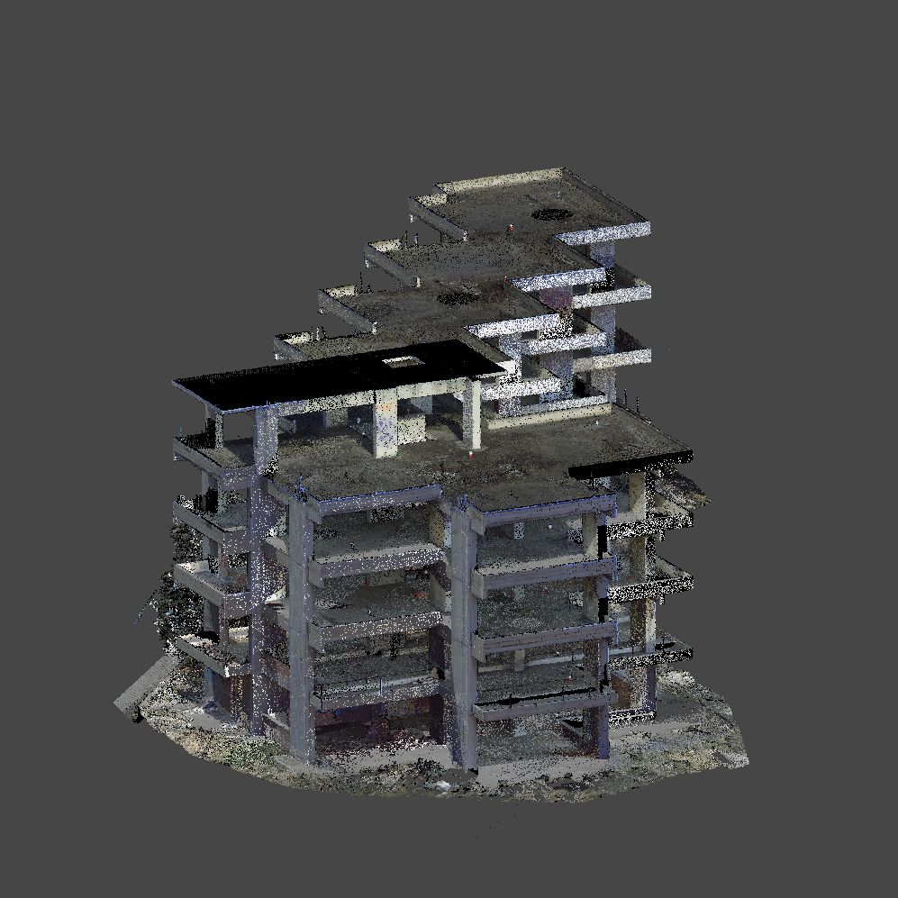
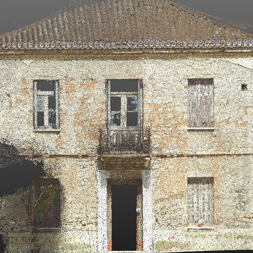
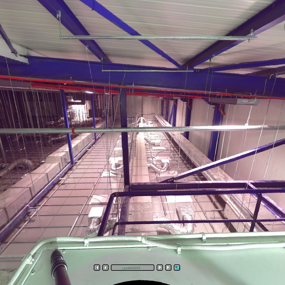
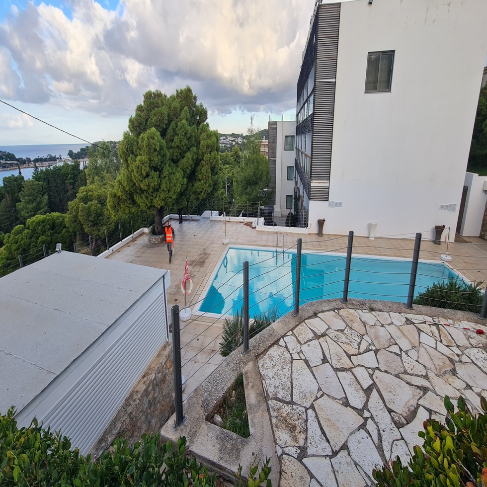
Our Projects


Contact us!
It would be good to have someone together who knows the boundaries of ownership. It will be useful to have old topographic diagrams and anything related to the property with you (contracts, building permit plans, expropriation plans, characterization deeds, cadastral diagrams, etc.). In case it is a large area, wear comfortable clothes and shoes because we will need to walk on its contour to find its limits.
