- Tunnel Documentation
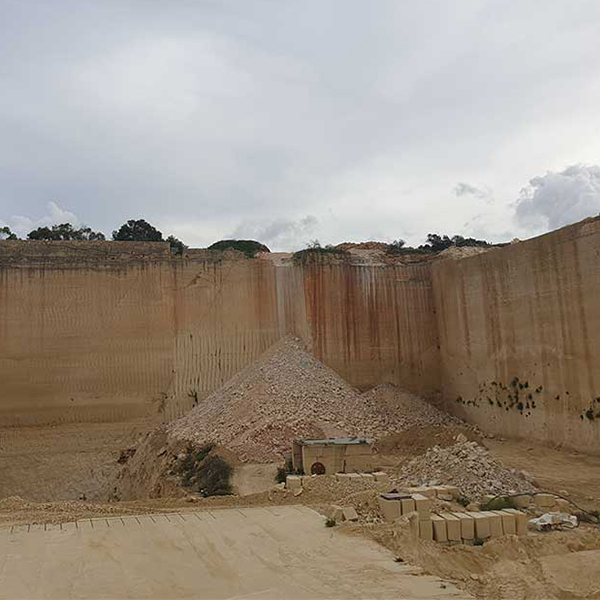
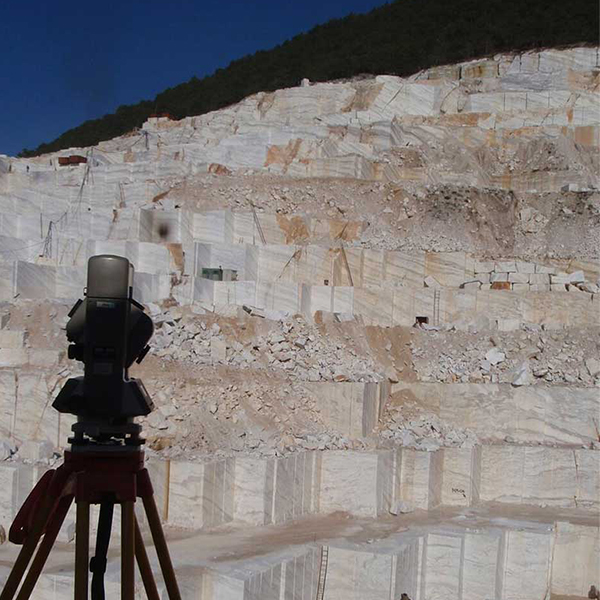
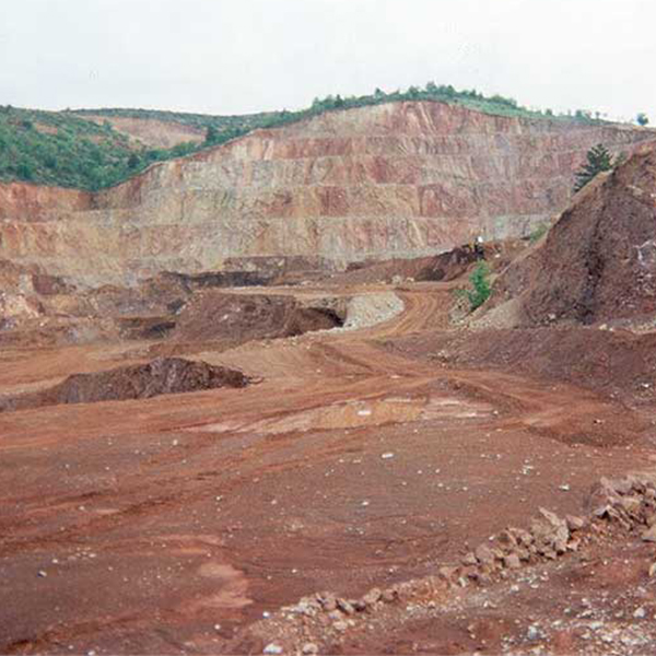
- Mine and Quarry Documentation
- Documentation and monitoring of large construction projects (Roads, Bridges, Junctions, Dams, etc.)
- Cave Documentation
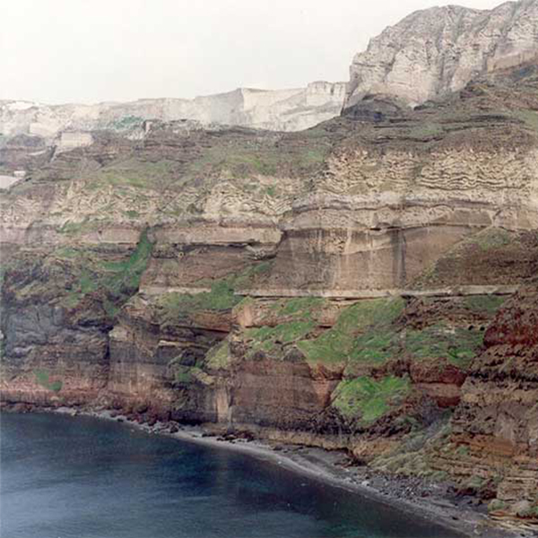
- Documentation of difficult to access precipices with negative slopes
Detailed documentation with extremely high accuracy:
- Watercourses
- Cracks in Rock mass
- Negative slopes
- Large Rock Formations
- Slidden rock fragments of past rockfalls
- Hanging or potentially hanging rock fragments
- Surfaces of detached fragments
- Heterogeneity on large and high-altitude steep precipices
- All of the above are documented with highly dense point clouds (accuracy that ranges from 2mm to 4 cm)
Final products
The production of point cloud is the first product of terrestrial scanning. Subsequently using suitable software, the point clouds are processed to produce a myriad of products:
-
3D Point clouds in Real Color with georeferencing
-
Extraction of 2D Drawings: Horizontal sections, surveys, Vertical Sections
-
Video Walk Through- Fly through
-
Orthoimages- Measurable Photos
-
Panoramic Images – Virtual Navigation accessed online

3D documentation process for geological studies
The 3D Laser scanner scans the ground surface and the resulting data is then transported to a computer as a point cloud. The technology is based on the dense acquisition of millions of points (1.000.000 points/sec).
The final product is a point cloud, in which every point contains xyz coordinates in space. Simultaneously, every point contains color information which is corresponded to a pixel which is acquired from the built-in camera of the scanning system. Thus, millions of points-pixels are recorded in 3D space.
The high density of the points combined with the color information contained in each approach what is known as “virtual reality”.


