Topography in Mines and Quarries
Topography in Mines and Quarries
We have never stopped investing in technology and provide state-of-the-art Terrestrial Laser Scanning TLS (Terrestrial Laser Scanning) services combined with UAV aerial photography.
Accurate 3D models: We quickly and accurately scan 3D models of reserves, voids and complex and significant geological structures
Faster surveying: We deliver the fastest and most complete monthly report on the progress of mining
Highest resolution 3D combined with 360° photos: XYZ information for every pixel of every photo. Combination of point of capture, 3D model and 360° photo for each area
Tracking: Regular and timely monitoring of zones of interest is made simple at low cost and incredibly efficient
Volume Calculation: calculate the volume of material remaining to be mined or volumes of stored material no matter how complex the shape

Implementation of demanding surveying works:
- locating and defining the boundaries of quarrying sites
- Determination of the boundaries of the quarry and the delineation of the limits and boundaries of the quarry areas
- delineation of future excavations – mining (laying of piles – demarcation)
- design of the excavation method for the remaining mining site
- calculate the volumes of material remaining or volumes of stored material with a complex shape
Deliverables include:
- psometric diagrams at various scales
- three-dimensional models
- orthophotogrammetric orthophotographs and orthophotomaps
- volumetric measurements with appropriate documentation
- plans for future excavations and calculations of remaining material with appropriate storm water run-off
- site restoration plans
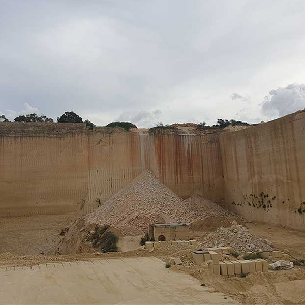
The quarries that we monitor or that have been captured by us are:
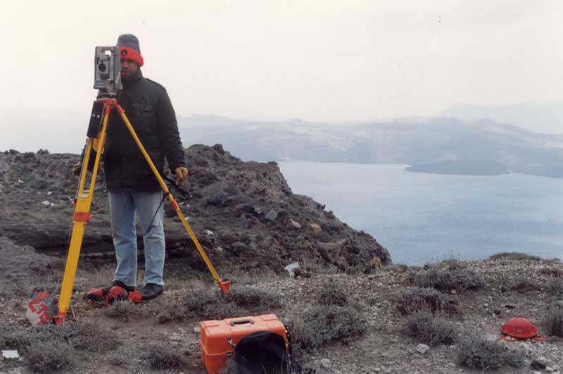
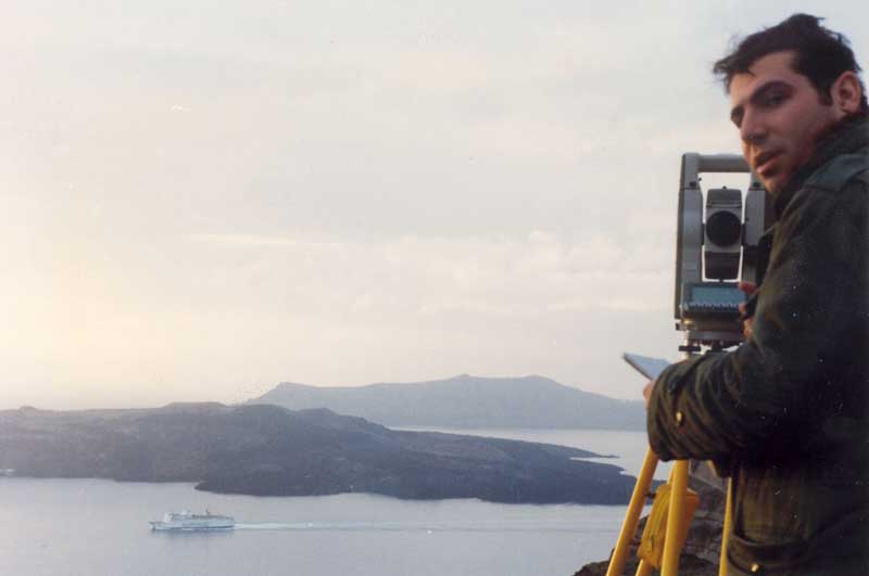
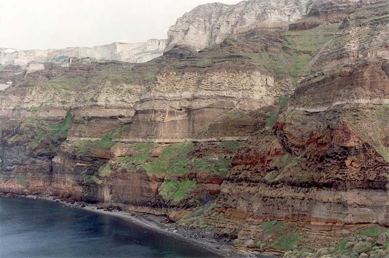
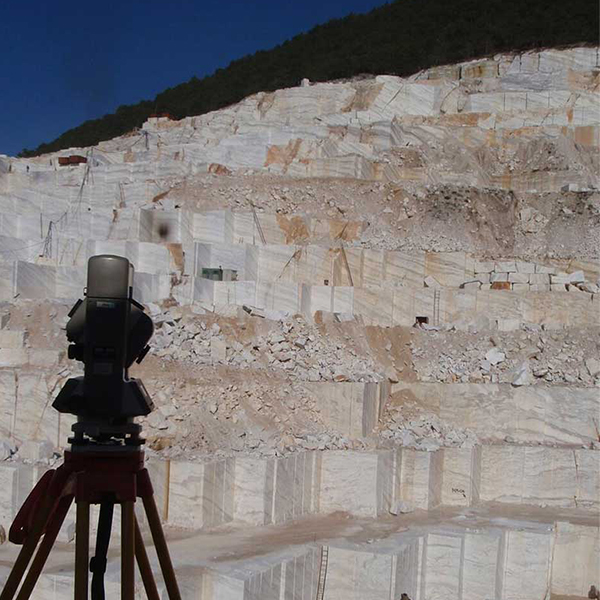
- Marble quarries at Volakas in Nefrokopi, Drama
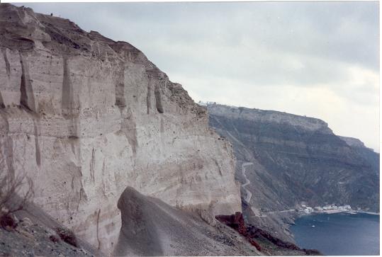
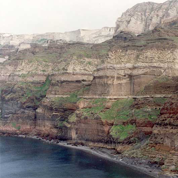
- Quarries of Karagiorgi in Santorini, South Cyclades
- Quarries AGELOS LATOMS OF SALAMINA S.A.
- Bentonine Mines in Kimolos, Cyclades South Bentomine S.A.
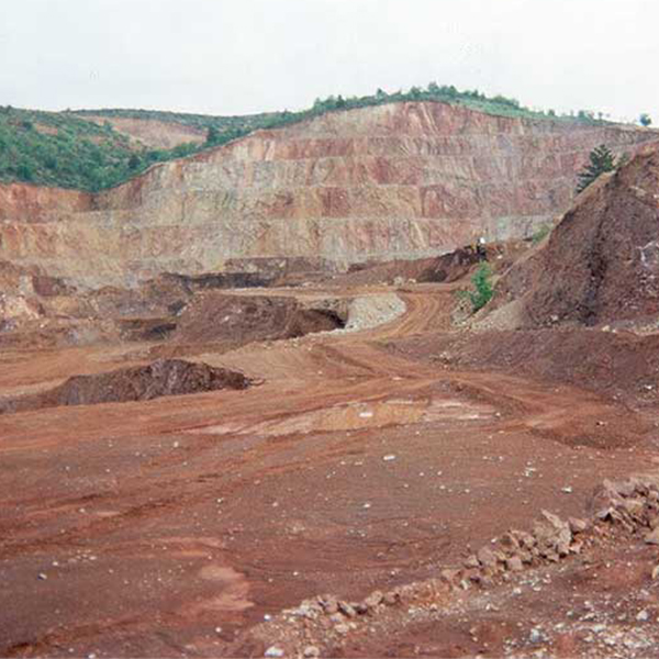
- Mine in the South of Kastoria of General and Mining and Metallurgical S.A. LARKO
- 40 Quarries in Malta and Gonjo

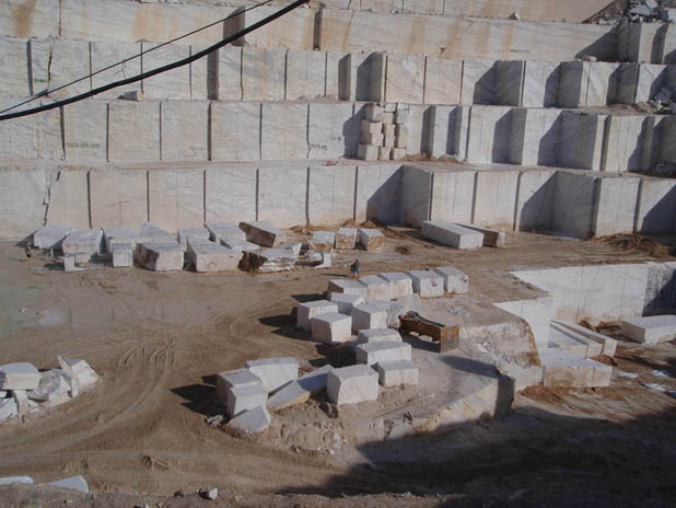

Marble quarries
- Establishment of a polygonal network in a national coordinate system.
- Mapping, volumetric measurements, engravings.
- Compilation of topographic diagrams
Quarry ``Michael Karagiorgis SA``
- Altimetric survey of the quarry area of 250 ha.
- Approvals from the forestry department.
- Definition of the lines of the Aegean Sea and beach.
- Issue of fencing permit.
- Preparation of a photointerpretation study.
- Evaluation of the site.
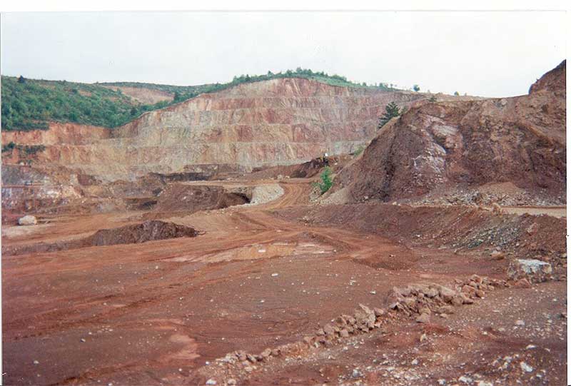
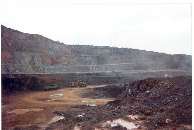
Mines of Kastoria
- Impressions
- Volume measurements
Mapping of a concrete mine on the island of Kimolos:
- Topographical survey of the existing situation
- Plan rendering – elevation update – DTM creation
- Choice of optimal route for internal roads
- Preliminary road design study – road layout – cross sections
- Drawing of road elements (axis – road boundaries)
- Earthworks pre-measurement – volumetric measurement
Παρακολύθηση λατομείου Σαλαμίνας:
- Establishment of a polygonal network in a national coordinate system.
- Mapping, volumetric measurements, engravings.
- Preparation of topographic diagrams for renewal of license.
Laser Scanning in Geology
TOOL FOR GEOLOGISTS – APPLICATIONS IN MINES – CAVES
- Tunnel impressions
- Mining impressions
- Mapping and monitoring of large engineering works (roads, bridges, junctions, dams, etc.)
- Cave impressions
- Dangerous inaccessible slopes even with negative slopes
- Mapping of areas with difficult access
The method is a particularly useful tool for geologists. Details such as:
- Missaghanies
- Rock mass fractures
- Negative slopes – undercuts
- Large rock masses
- Slipped rock masses of older deposits
- Overhanging or potentially overhanging blocks
- Surfaces of detached fragments
- Unconformities on steep slopes of large extent and height
All these are deposited with a particularly high spot density (density ranging from 2mm-4cm)
Final Products - Deliverables
- 3-dimensional (x, y, z) colour point clouds with Georeferencing – Dependency in the E.G.S.A.’87
- 3D model extraction / 3D Digital Models DTM, DSM
- Export of 2D Drawings.
- Video Walk Through – Fly Through
- Orthophotos – Measuring Images
- Panoramic Images – Virtual Tour accessible via Internet

3D documentation process in geological studies
The end result is a point cloud where each point has x y z coordinates in space. At the same time, each point also contains colour information and is linked to the elementary trace elements (pixels) captured by a camera located inside the same instrument. Thus, millions of points – pixels in three dimensions are captured in space.
The high density of points combined with the possibility of color information in each point approximates the term “virtual reality”.


Contact us!
It is advisable to have someone with you who knows the property boundaries. It will be useful to have with you old topographic maps and anything related to the property (contracts, building permit plans, expropriation plans, classification deeds, cadastral charts, etc.). In case of a large area, wear comfortable clothes and shoes because we will have to walk on the property’s contour to find its boundaries.
