Photo interpretations
Photo interpretations
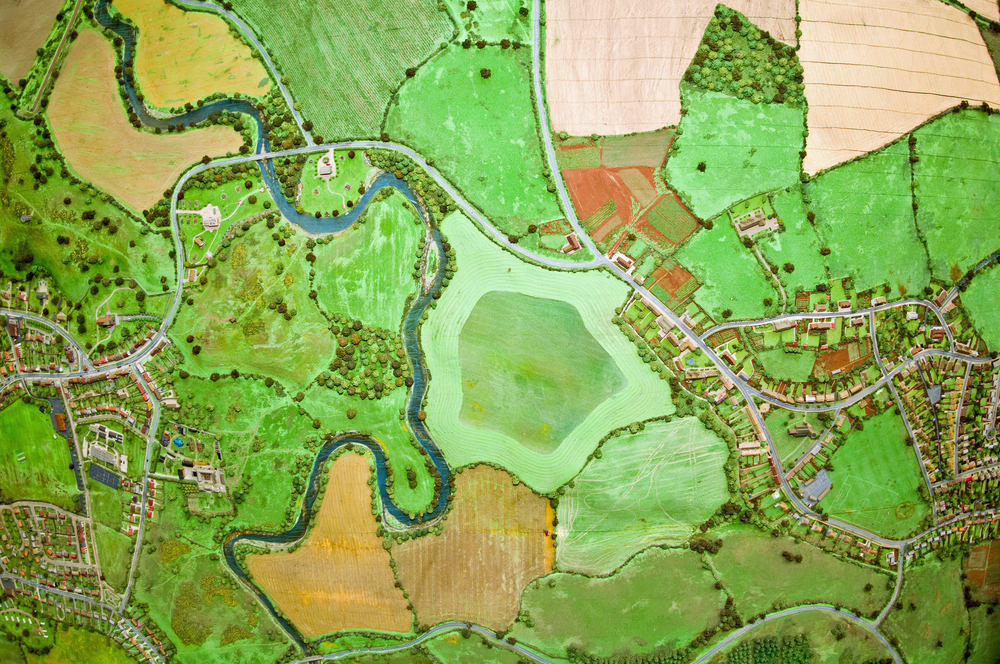
Photo interpretation is a window into the past. From this window you can see anywhere in the country at different points in time. What we see, we identify and this is then recognized with a full evidentiary value and legal value in court. The possibilities offered by the science of surveying, photogrammetry and remote sensing are countless. At relatively low cost, satellite images can also be used by our office, which has the necessary equipment and software to do so.
Aerial photos are absolute and irrefutable proof of the type of a plot of land (forested or not), not only because they are public documents, but also because they contain imprinted indisputable facts which bear a specific date and time and are the most absolute way of representing reality.

The use the photo interpretation
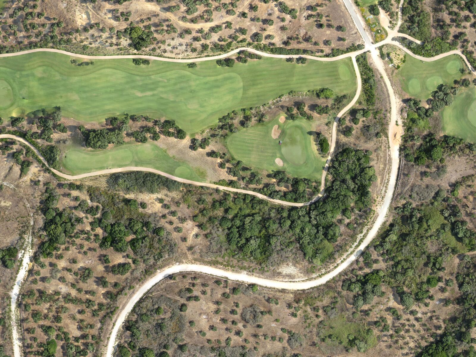
- Presence or absence of roads, paths , buildings or other structures
- Filing Appeals to the forest maps currently under construction
- Documentation on the year of manufacture of illegal constructions or additions were built (the High Court only decides on the basis of aerial photos or proof of illegal construction)
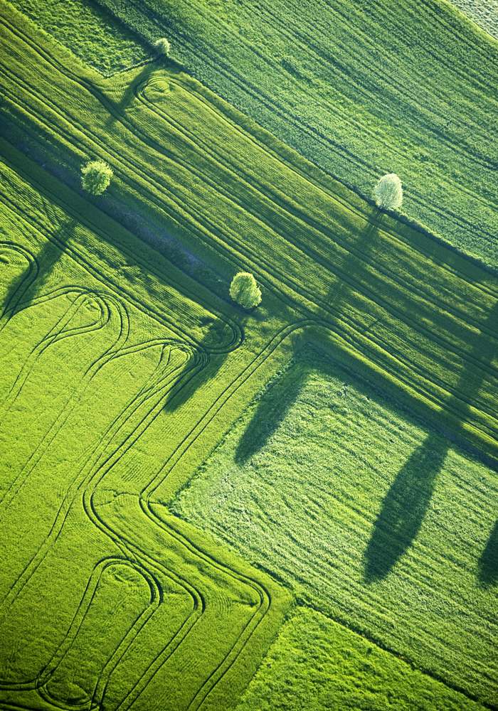
- The geomorphology and other natural or artificially constructed ground level
- The definition of the seashore (including the winter-wave lines) and definition of water streams.
- Documentation of the limits the properties and potential abuses of these changes
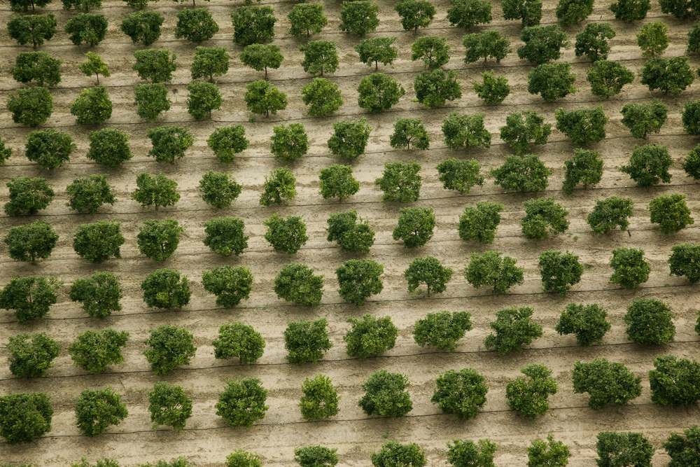
- The type of vegetation or type of plants existing on a plot of land.
- Filing Appeals to the National Property Listing (‘Ethniko Ktimatologio’) for Greece
- Use and land cover
- Application of property titles / contracts
- Locating Property
- Photogrammetry – Topographic of the Past
- New Forest Laws
On what basis are our photo interpretation reports drafted?
- Full coverage of the Athens basin in 1937. In 1937 became a full coverage of the basin was carried out with 1:37.000 scale aerial photographs and the next two years included additional shots from the Army Geographical Service (GSA).n 1939, 115 additional aerial photographs were taken in Drama and 345 in Athens Lavrion.
- Partial coverage of Greece in 1938.
- Full coverage of Greece in 1945 and 1960. During these years, a full coverage of Greece was achieved (excluding the Dodecanese which were annexed to Greece in 1945 and were not included in the 1945 photographs) at scales of 1:42.000 (1945) and 1:30.000 (1960).
- Full coverage at various dates after 1970 and about every ten years. The Army Geographical Service downloads a file from after 1970 of over 280,000 aerial photographs. The O.K.CH.E. also has a file with about as many downloads for the period from 1970 to today.
The Aerial Photographs used are original, available from the GSA: Geographic Service Army, the O.K.CH.E.: Mapping and Cadastral Organization of Greece’s Y.P.E.K.A. and the Ministry of Agriculture (Ministry of Agriculture).
What other items that can be used in a Photo interpretation study?
The satellite images now used are very high resolution ( VHR ) images from the following satellites:
- WorldView-1 with a resolution of 50cm,
- WorldView-2 also analyze 50cm,
- Panchromatiki GeoEye-1 (black) analysis 50cm,
- QuickBird also panchromatic analysis 60cm,
- Ikonos broken down to 1m.
There are also many other references that can be used.
Historical maps from reliable map files that we access.
We compare many diagrams and drawings from different services: urban planning, Ministry of Agriculture, land acquisition, photogrammetric diagrams, application operations, plans of cities, diagrams of the Army, the specific maps of Municipalities, Seashore, the Y.A.S. (Earthquake Rehabilitation Service) and many other organizations
We have developed a special method of exploiting lateral shots. In this method, we find old photos of specific areas and using our method we convert the downloads in order to support legal cases, when it is impossible to find other references for a plot. This study has developed lateral shots from our office and we are especially proud of its effectiveness.
What does a photo-interpretation study include?
The drawings accompanying the original larger aerial outlining plans to the findings of stereoscopic observation. The stereoscopic observation is an essential tool of photo-interpretation. Virtually everything is done in stereo photo interpretation of aerial photographs. This observation leads to the identification and localization of the findings. The observation is much better than the monoskopiki it just may recognize the terrain, the elevations, the height of construction of objects and vegetation but also the recognition of the kind of plot.
3D presentation We have developed methods of presentation in which every reader can study and see in three dimensions!
Both you and third parties (judges, forest officers, engineering planning, committees, managers of services for the study) can see stereoscopic 3 D ! This is done using tools that we can supply you with, at very low cost.
The attachments accompanying the study. The study may be comparative and includes a series of projects and other evidence. The presentation of these is a single form and is easily understood by the reader.
Why choose the XYZ company?
- We havesignificant experience in each of the above fields of application of photo- interpretation since 1995.
- We have studied and specialized in exactly this ie topography photo interpretation and photogrammetry.
- We have state of the art digital equipment
- We also havethe most modern analog equipment, mirror stereoscopes with special lenses and lighting
- Using the topographic office equipment and the specialized personnel we can measure directly, using rural geodetic receivers GPS
- Our office is on Evelpidon Street 31 (ground floor, across the street from the Army Geographic Service) in order to efficiently serve your needs, carrying out research, ordering and delivering aerial photographs and other materialsfrom the competent service.
- We produceevidence based on photographs that have been taken from the ground!Ask us about the studies we have prepared.We are proud to present these studies simply because we are the only ones who have developed the methods to carry them out!
- We can present our studies in three dimensions, allowing you to visualise the past in three dimensions.
- Because the name of our office ‘xyz’ represents the three dimensions!
Our Projects
Nothing Found
Apologies, but no results were found. Perhaps searching will help find a related post.
Contact us!
It would be good to have someone together who knows the boundaries of ownership. It will be useful to have old topographic diagrams and anything related to the property with you (contracts, building permit plans, expropriation plans, characterization deeds, cadastral diagrams, etc.). In case it is a large area, wear comfortable clothes and shoes because we will need to walk on its contour to find its limits.
