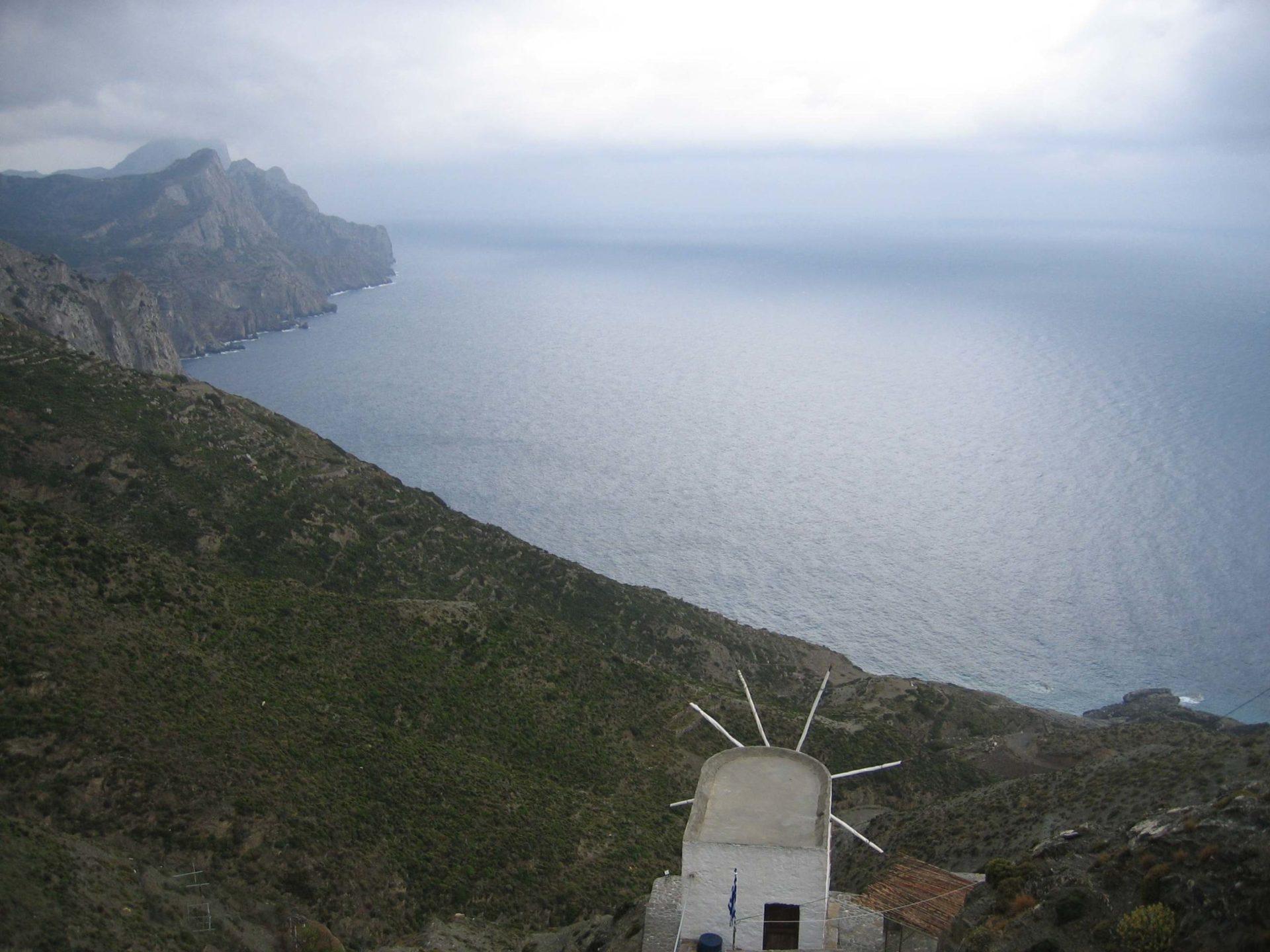
Photogrammetry
The Science of Photogrammetry uses Aerial Photographs, Satellite Images or even ground shots to produce Topographical Charts called Photogrammetric Charts.
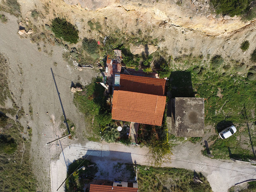
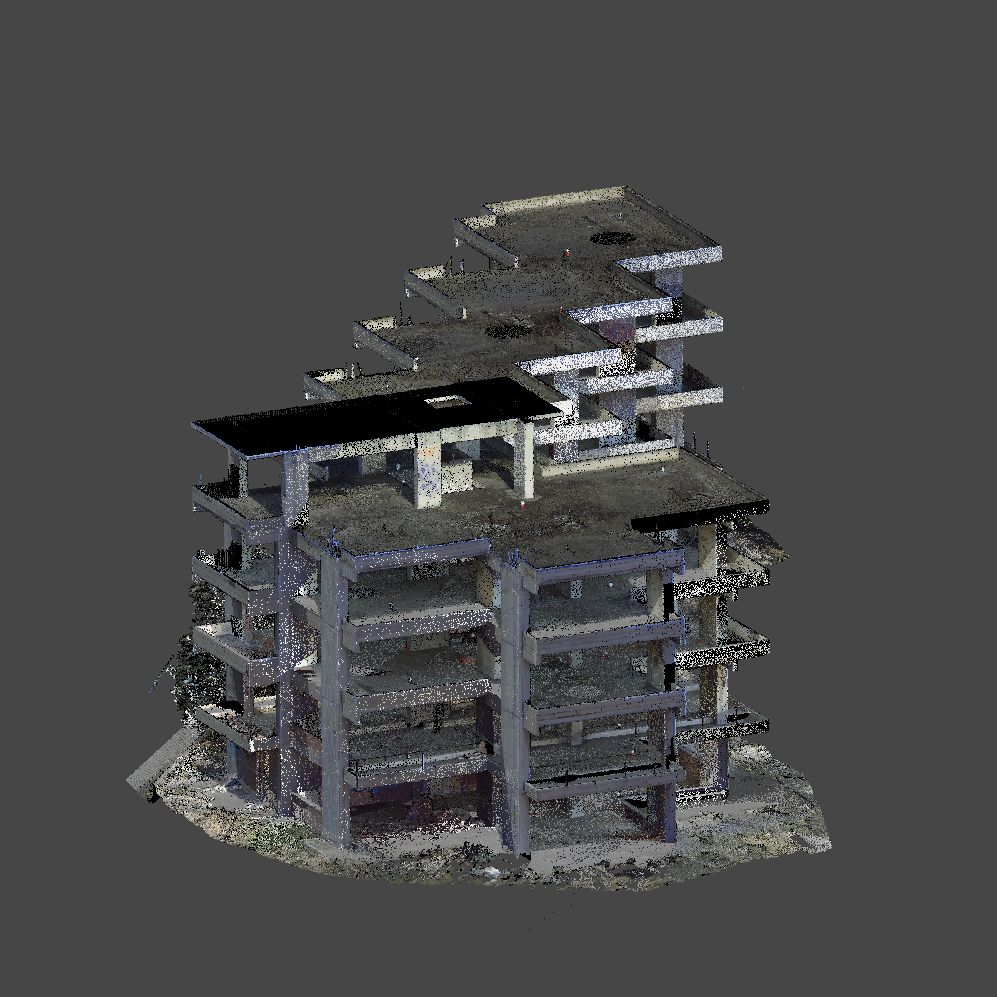
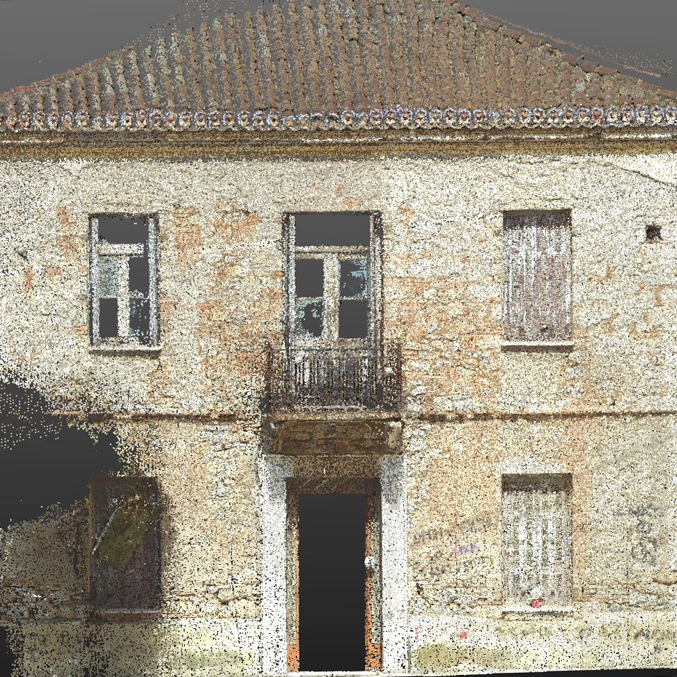
Orthophotographs, Orthophotomaps or simple maps are also produced. Three-dimensional digital models are created and elevation charts are produced.
- Photogrammetric Charts depict the findings of the past, the findings of the images used.
- With state-of-the-art equipment we produce Orthophotographies1 – orthophotomaps with the highest possible accuracy.
- Thus the findings of the images are clearly presented and compared to each observer.
The sizes of the findings and their positions in space (with coordinates) are now measured and compared in relation to time (various aerial satellite and other image acquisitions).
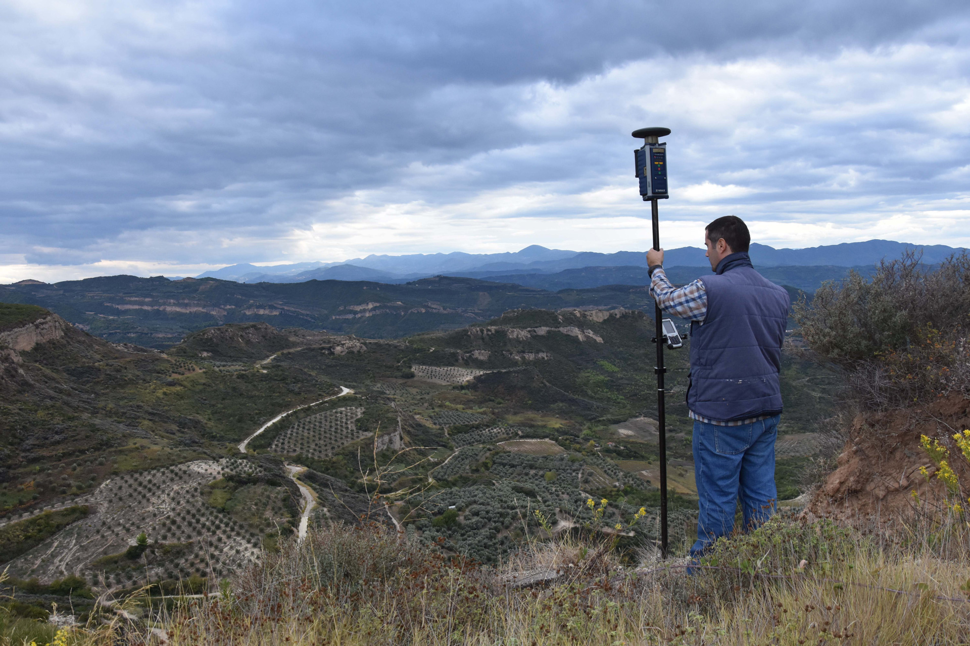
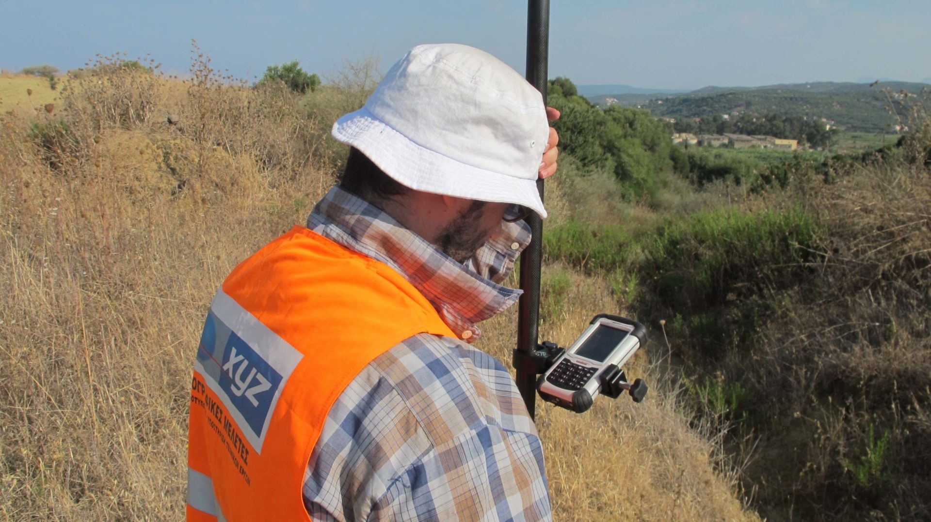
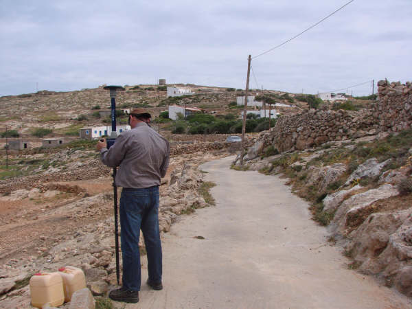
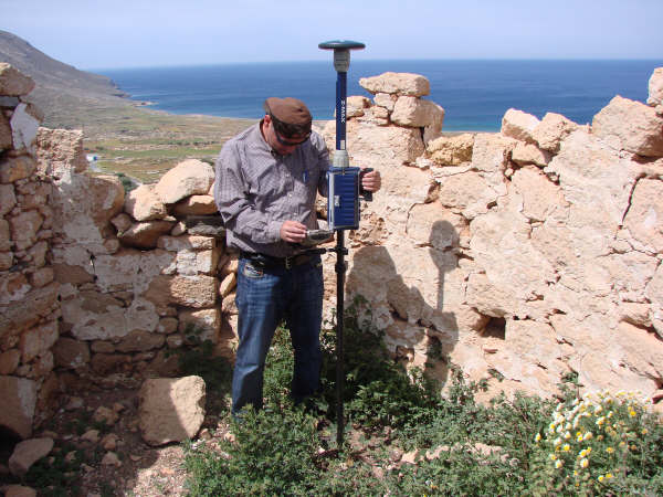
The connection between the ground coordinates and the aerial photographs is made with the aid of photostats. These are points identified in the aerial photographs and which are mapped on the ground using ground-based methods. With the development of GPS systems, the way in which the photostats are now captured is by means of GPS geodetic receivers. Our office is equipped with the latest technology THALES Z-MAX (real time Kinematic) receivers and our prices for photostationary imaging are very attractive.
Orthophotography: In orthophotography, we can overlay drawings and maps or compare orthophotographs with each other to determine changes that have occurred at a location on the ground over time.
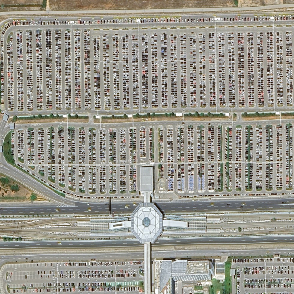
Satellite photogrammetry: using satellite images with accuracies up to 40cm! to produce plans.
The use of these methods in topography, land registry, engineering studies, architecture, archaeology.


Our Projects


Contact us!
It would be good to have someone together who knows the boundaries of ownership. It will be useful to have old topographic diagrams and anything related to the property with you (contracts, building permit plans, expropriation plans, characterization deeds, cadastral diagrams, etc.). In case it is a large area, wear comfortable clothes and shoes because we will need to walk on its contour to find its limits.
