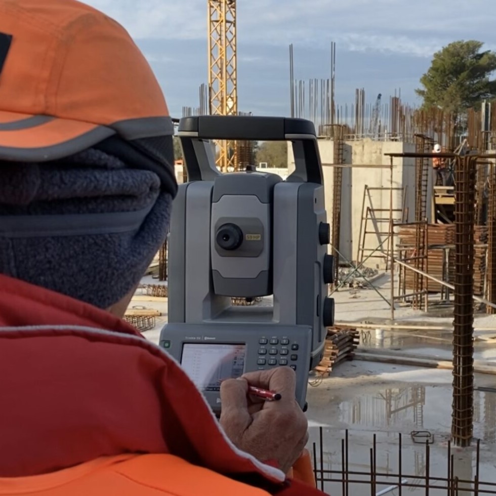
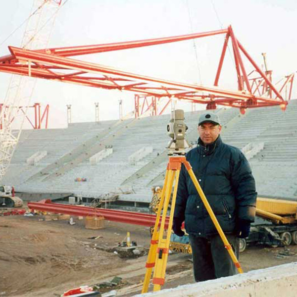
Surveying Services at Construction Sites
From the establishment of the control network and its maintenance to the project layout and monitoring, we meet the needs of the modern construction site with Innovative Award Winning Services.
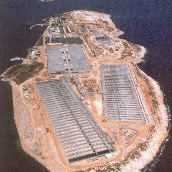
We provide Consultancy Services and Precision Controls at the in-situ Site for the control and monitoring of the Construction.
Services in Construction Sites
- Establishment and monitoring of High Precision Networks
- Initial Precision Capture
- Establishment of Primary & Secondary Control Network
- Construction Setting Out
- Monitoring and Documenting Project Progress
- Comparison of Complex Constructions with Theoretical Designs
- Three-dimensional mapping of constructed parts
- Scan to BIM
- Monitoring and automatic control of micromovements
- Permanent Site Survey Support
Experience, innovation & certified processes
The company S. KATSOLIS – D. BILLALIS O.E. “XYZ TOPOGRAPHIC DESIGNS”
is certified by Bureau Veritas according to the requirements of the International Standard ELOT EN ISO 9001:2015 for the implementation of technical studies in the fields of:
PROVISION OF TOPOGRAPHIC SUPPORT FOR CONSTRUCTION SITES / SPECIAL 3D LASER SCANNER IMAGING FOR INDUSTRY
The company implements a Quality Management System in respect of the services offered in order to achieve the desired high level of customer service.
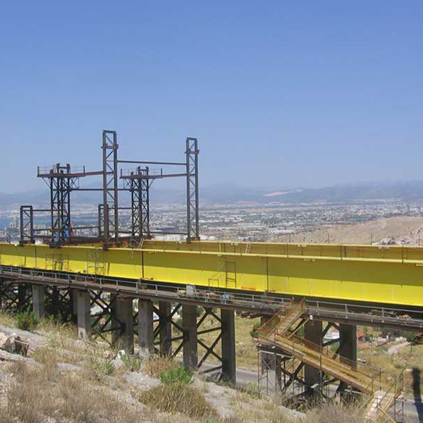
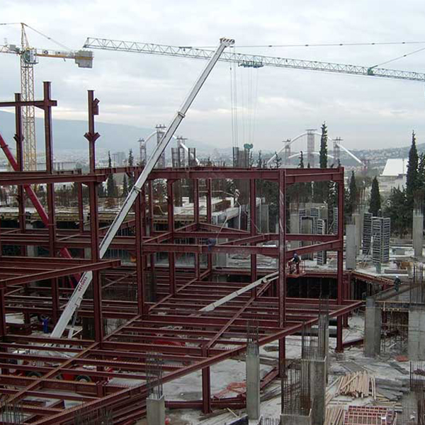
METAL STRUCTURES / INDUSTRIAL BUILDINGS / BUILDINGS / HOTELS / EARTHWORKS / AIRPORT / STADIUMS / QUARRIES – MINING – PROCESSING / OPTICAL FIBRES / REFINERIES – FUEL DEPOTS


XYZ LTD
XYZ innovates and continuously invests in new technologies. It won an award at the Blue Growth 2016 of the Municipality of Piraeus and was selected among 1000 companies worldwide by PortXL of Port of Rotterdam. This led to the creation of XYZ BV based in the Netherlands, specializing in 3D imaging with 3D Laser Scanner spatial scanners, 3D modeling and 360 virtual tours for the maritime and industrial sectors.
Our Projects


Contact us!
It is advisable to have someone with you who knows the property boundaries. It will be useful to have with you old topographic maps and anything related to the property (contracts, building permit plans, expropriation plans, classification deeds, cadastral maps, etc.). In case of a large area, wear comfortable clothes and shoes because we will need to walk the property’s contour to find its boundaries.
