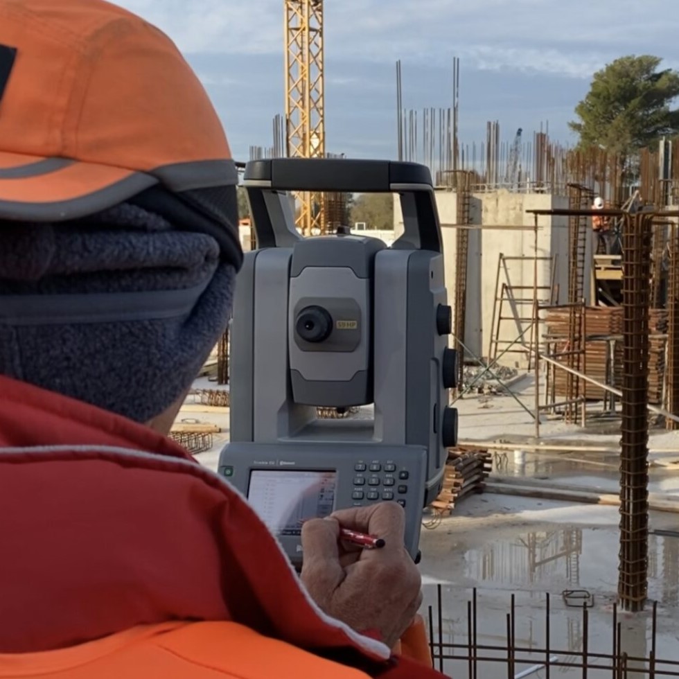
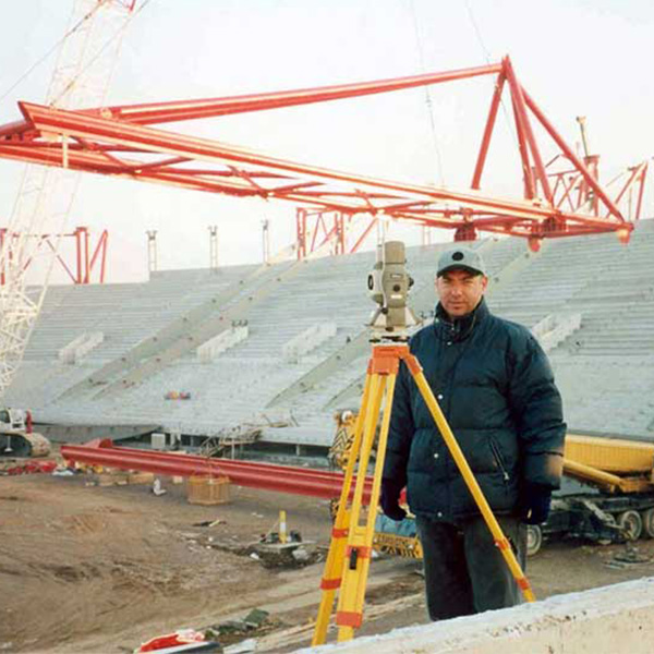
Initial Land Survey
This background is necessary both for the handover of the site to subcontractors and for the intermediate certification of each part of the Project and possibly for the preparation of a Topographical Chart suitable for the issue of Building Permits at the Site.
The mapping is done with the maximum accuracy to avoid disputes of discrepancies in measurements, delays and also a discount in the quality of the project.
In particular, the surveys are made with Robotic Geodetic Stations and with Geodetic Satellite Receivers (Land Surveying) or with Special 3D Digital Scans.

Compilation of drawings
The classification of vector and point elements is done with linear and point symbols at different levels according to the specifications of the Project Owner. In case the creation of a Topographic Background of the Project’s Initial State includes also Replicas of Existing Buildings and Special Structures then the deliverables will include Floor Plans, Sections, Elevations and also 3D Models or Building Information Models – BIM.
The Background refers to the Hellenic Geographical Reference System 1987 (EGSA’87) or to the Project’s Reference System and if used for the issuance of the Building Permit it meets the relevant specifications.
The 2,5D (2,5 dimensional) topographic background (horizontal plan with elevations)
All other measurements and inspections to be made on the project and the means of documenting them will be indicated and located on this background.
The mapping is done with a combination of the robotic geodetic station and a 3D digital Terrestrial Laser Scanner. The 3D scanner at the Project scans the topography and the digital information is transferred to the computer as a point cloud.
Its technology is based on the dense recording of millions of points (1,000,000 points/sec).
The end result is a point cloud where each point has x y z coordinates in space. At the same time each point contains the colour information and is linked to the elementary trace elements (pixels) captured by a camera located inside the same instrument. Thus, millions of points – pixels in three dimensions are captured in space.
The high density of points combined with the possibility of color information in each point approximates the term “virtual reality”.
The creation of the point cloud is the first product of terrestrial scanning
Establisment of Triangulation Network
Topographical documentation of the project - Interim reports
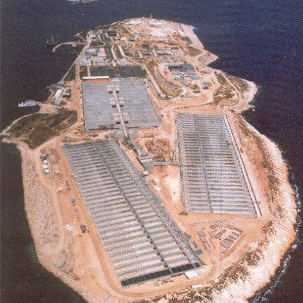
Our Projects


Contact us!
It is advisable to have someone with you who knows the property boundaries. It will be useful to have with you old topographic maps and anything related to the property (contracts, building permit plans, expropriation plans, classification deeds, cadastral maps, etc.). In case of a large area, wear comfortable clothes and shoes because we will need to walk the property’s contour to find its boundaries.
