Construction Site Support
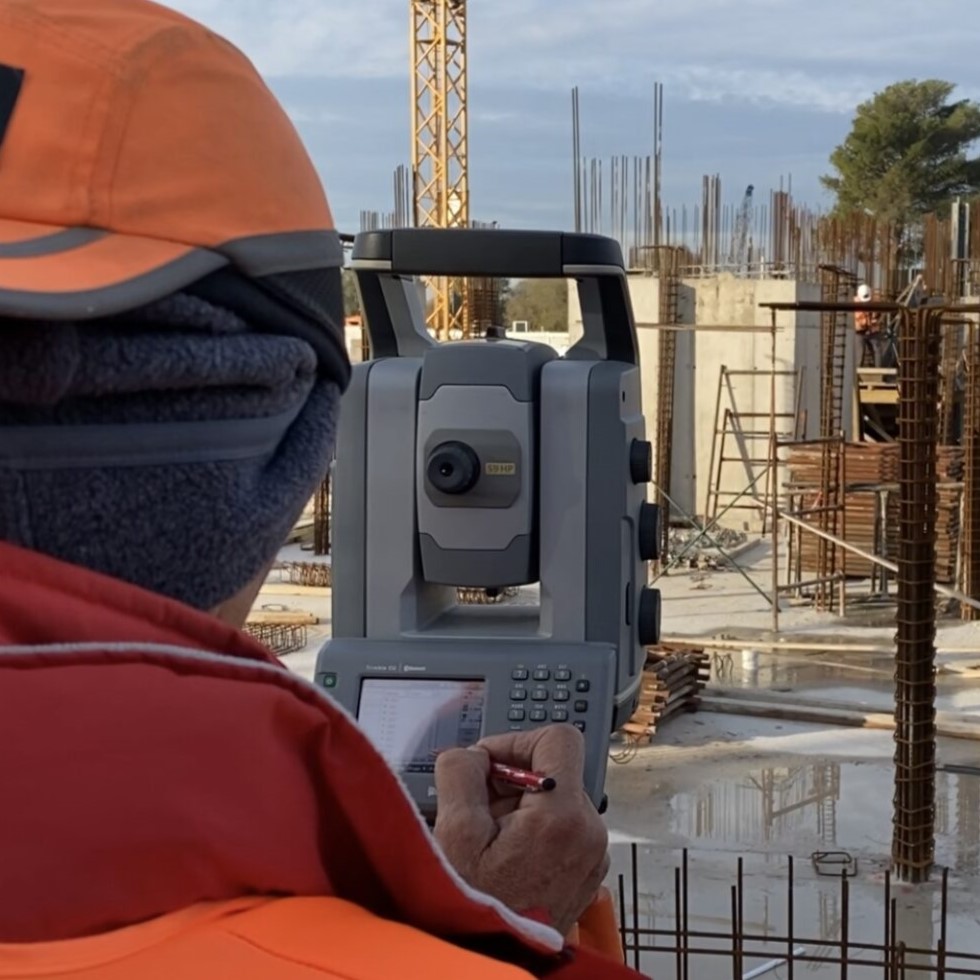
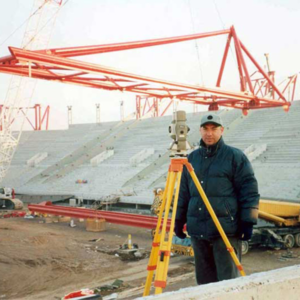
The characteristic of the field survey is that instead of the traditional “survey crew”, a field surveyor equipped with an automatic surveying system and on-site inspections measures and checks in the field. Survey with Robotic Geodetic Stations
The Countryside Surveyor operates a mapping system connected directly to the project’s databases and backgrounds. On-site he checks each structure and sees the results of the on-site inspections in real time. The process is monitored at the same time by a Senior Engineer of the Office. The direct communication between office and field is uninterrupted with radios (hands free).

Establishment of a surveying department to support the project
The office is equipped with modern workstations and with all the appropriate software required for the completion of the office work i.e. the preparation of drawings, reports, technical reports, monitoring of the project flow but mainly the control of the position (horizontal and vertical) of all ongoing Technical Projects, Building Installations, Infrastructure Projects (Roads, Railways, Parks, Parks, Pedestrian walkways, Public spaces, street and building lines, coast and beach lines, etc.), Networks (Water, Sewerage, Energy, Telecommunications). The staff of the office is also responsible for the documentation of the project concerning the topographic monitoring.
The safety of the personnel is the first in importance and significance that the management of the department takes care of.
The key feature of the surveying department’s organization is automation in both field measurements and the rendering of drawings in the office. This feature saves time and money and at the same time ensures that any problems that may arise in the project can be dealt with immediately.
Construction Setting Out
Structural Monitoring
Our Projects


Contact us!
It is advisable to have someone with you who knows the property boundaries. It will be useful to have with you old topographic maps and anything related to the property (contracts, building permit plans, expropriation plans, classification deeds, cadastral maps, etc.). In case of a large area, wear comfortable clothes and shoes because we will need to walk the property’s contour to find its boundaries.
