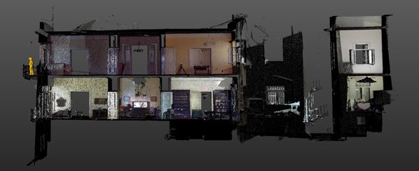
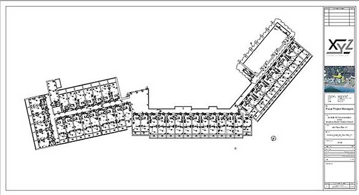
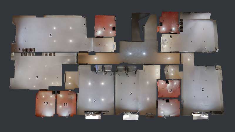
An Architectural Plan is a drawing that represents to scale the horizontal section of a building. It is drawn from what an observer would see from above.
The need for accuracy and the abundance of elements necessary to be captured determine the method of work and its cost.
The Existing Condition Floor Plans we provide go beyond the basic elements such as walls, finished floors, levels, finished ceilings, openings, staircases can include:
- Views of the different levels of the ceilings
- Levels of the different levels of the ceilings, the different levels of the ceilings, the different levels of the ceilings.
- Location of frames – Types of frames
- Networks
- Heating – cooling systems
- Kitchens Sanitary fittings
- Electromechanical Sockets Lights
- Materials on the Floors
- High resolution plan view image
- High resolution orthophotography


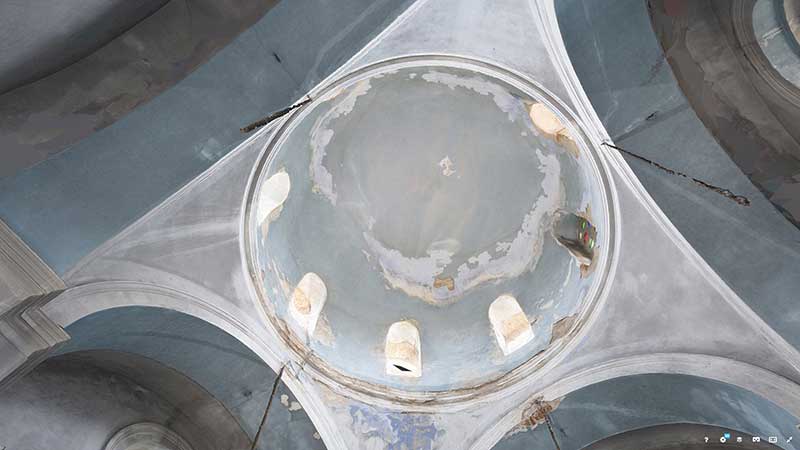
An Architectural Reflected Ceiling Plan (RCP) is a drawing that represents a building in horizontal section in scale as seen from below.
Reflected Elevations of an Existing Condition show the different levels of the rafter ceilings and detail their heights from the floors.
In addition, we can offer:
-
Location of fixtures
-
Networks
-
Ceiling decorations with its materials
-
Damages moisture cracks
-
High Resolution Image Immersion
- High resolution orthophotograph of Immunity
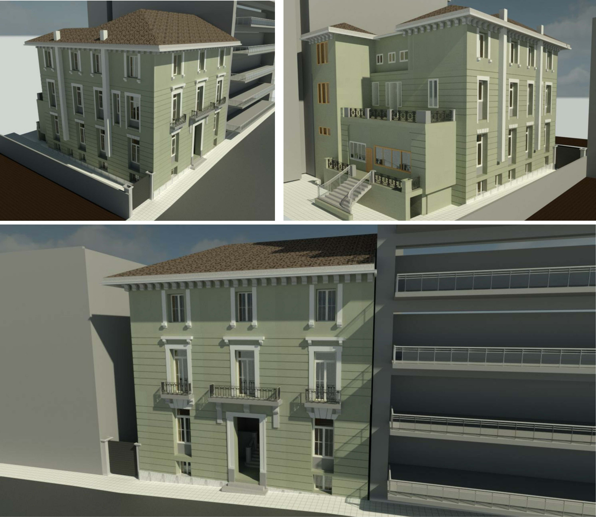
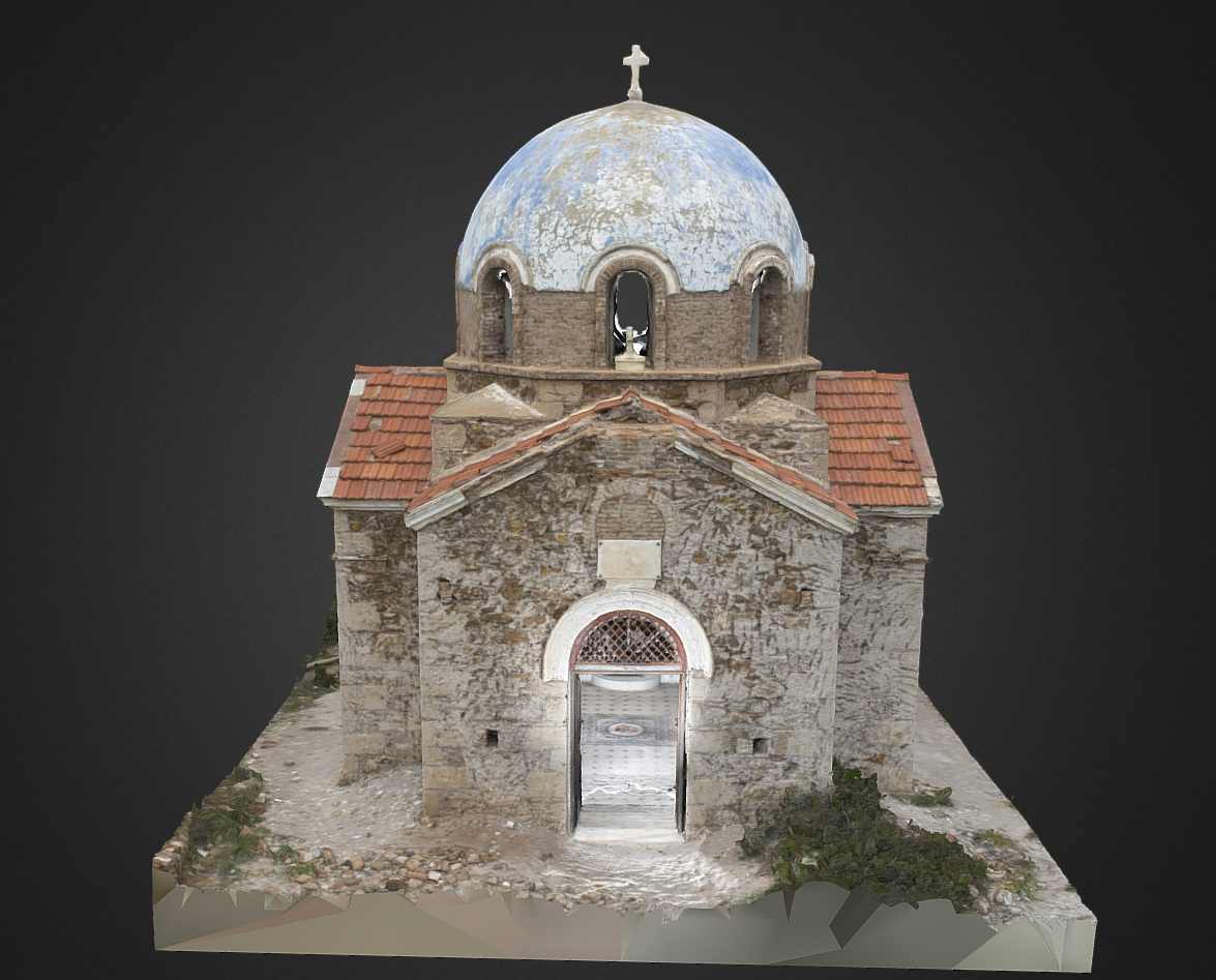
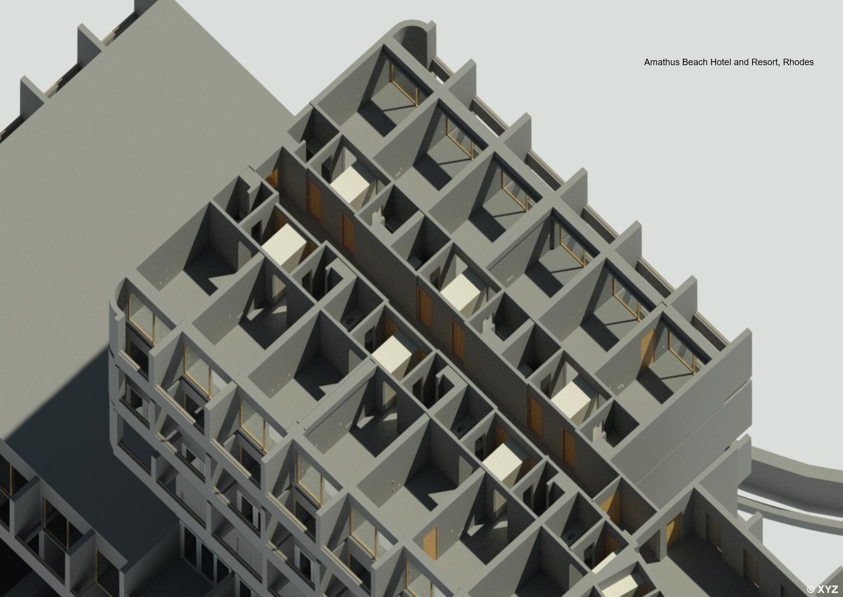
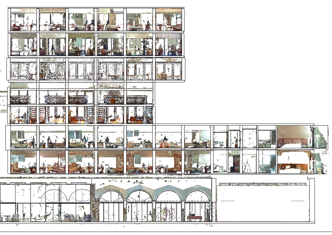
In architecture, the facade of a building is often the most important aspect in terms of design, as it prepares the visitor for the rest of the building.
It is common practice that in existing hotel, residential and public buildings for facades to be redesigned and reconstructed.
How Building Façade Mapping is created
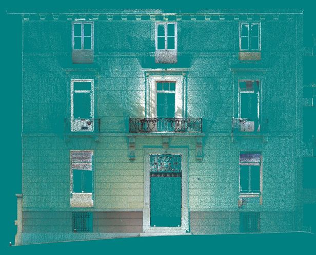
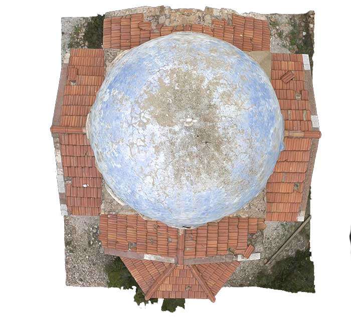
The mapping of existing building exteriors is implemented by Precision Topographic Measurements combined with the use of a static Laser Scanner where all architectural details are captured.
Each facade is captured with a digital scanner and photographed. In case the elevation is covered by dense vegetation and trees, Laser Scanner scanning bypasses the obstacle and we obtain from the elevation the valuable information needed to draw up the plans. In case there is an obstacle across the view of the building and it is not possible to locate it, then the measurement information is collected with the Digital Scanner and the images are collected with Drone. The images are converted into measuring images by photogrammetric methods after special measurements of photostable points.
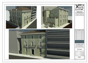
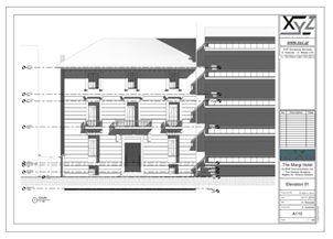
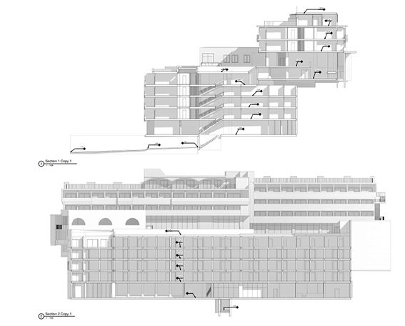
Deliverables
The rich color point cloud collected combined with the high-resolution images enable the production of high accuracy and information rich detail drawings.
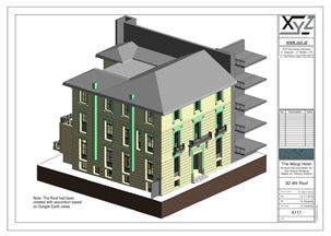
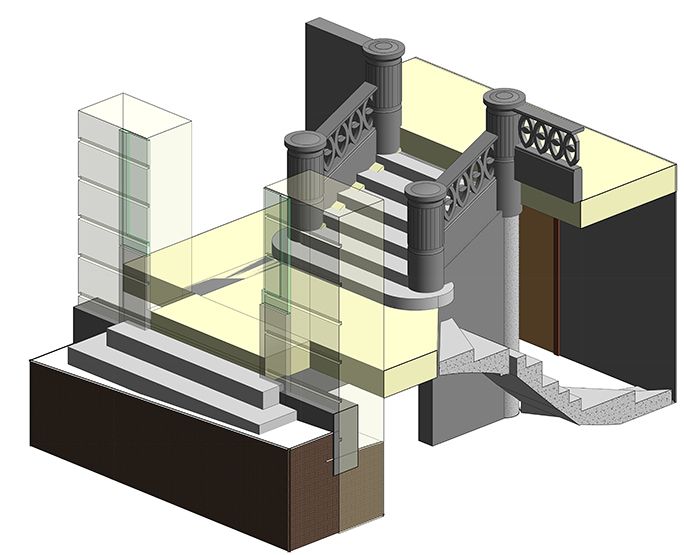
There is a three-dimensional rendering capability as well as façade modeling with all architectural details (or damage) present on the building’s façade.
A typical deliverable is an orthoimage of the existing condition, elevation where the decorations and every detail of the elevation are metrically rendered in combination with high resolution photographic texture.