Topography for photovoltaics & wind turbines
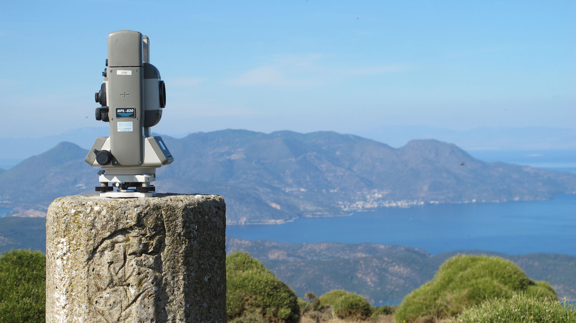
A basic and necessary element of the file submitted for approval by the Energy Regulatory Authority (RAE) is the topographical plan of the property.
The topographical plan is a substantive plan and not a formal document.
The schematic is not a formal document, but rather a document of record,
- the dimensions,
- the area,
- the topographical relief of the land,
- the orientation
- are key elements for planning.

- a person in a municipal or
- rural road or
- on a path or even if
- it is a blind property and needs (or has) slave passage from other properties, also must be shown and characterized on the topographic survey.
Important is the distance of the photovoltaic site selected to be installed from the existing configured network of DEDDIE S.A. (Operator of the Greek Electricity Distribution Network).
- compatibility with the geoinformation system of RAE
- the acceleration of the control procedure
- the use of open documented standards
- the possibility of submitting both the geometric (polygons of stations) and descriptive data (e.g. power, rotor diameter, etc.)
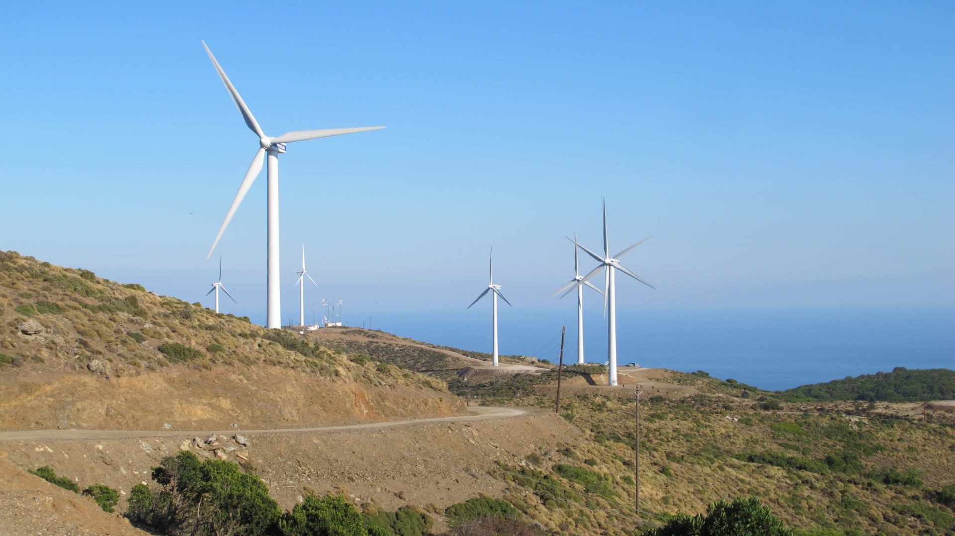
The topography of the property also plays an important role in the design in a PV park.
- The slope of the terrain,
- the orientation of the installation site in relation to the solar horizon and
- the shaping of the ground with excavation and backfilling for the placement of the panels and for the opening of an access road, are probably necessary works that may need to be done.
The study of stormwater runoff (and consideration of whether it affects the installation) also requires knowledge of the exact topography of the terrain.
Also important elements of a complete up-to-date topographic survey are the correct placement of the property on the necessary maps. These maps are the
- 1:5000 and
- 1:50000 of the Army Geographical Survey (GIS) and the 1:50000 of the
- Residential Control Zone (SCZ) and Open City Spatial and Residential Organization Plan (OSP and not “OSP”) diagrams from which the building conditions are determined .
Finally, the list of coordinates of the property’s vertices, in the Hellenic Geographical Reference System 1987 (EGSA ’87), is also necessary for the completeness of the topographical plan.
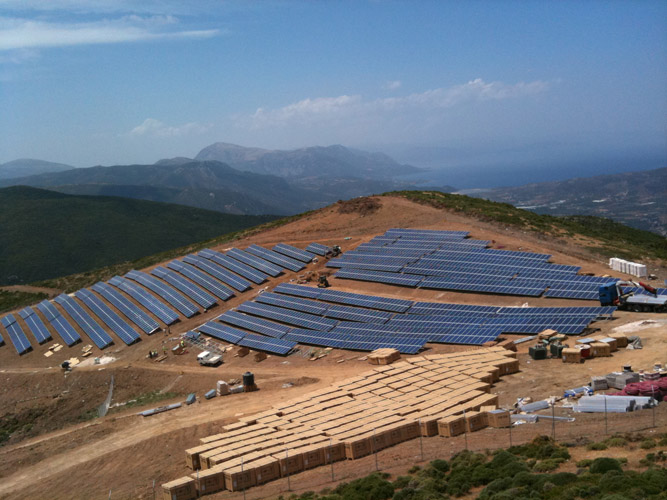
The accurate and detailed topographic survey of the photovoltaic park site to be installed is a “tool” for the selection of the best possible placement of the “PANELS” that make up the photovoltaic park. At the same time, it is used for the selection of internal road construction, which is necessary both for the transport and for the placement of the “PANELS”.


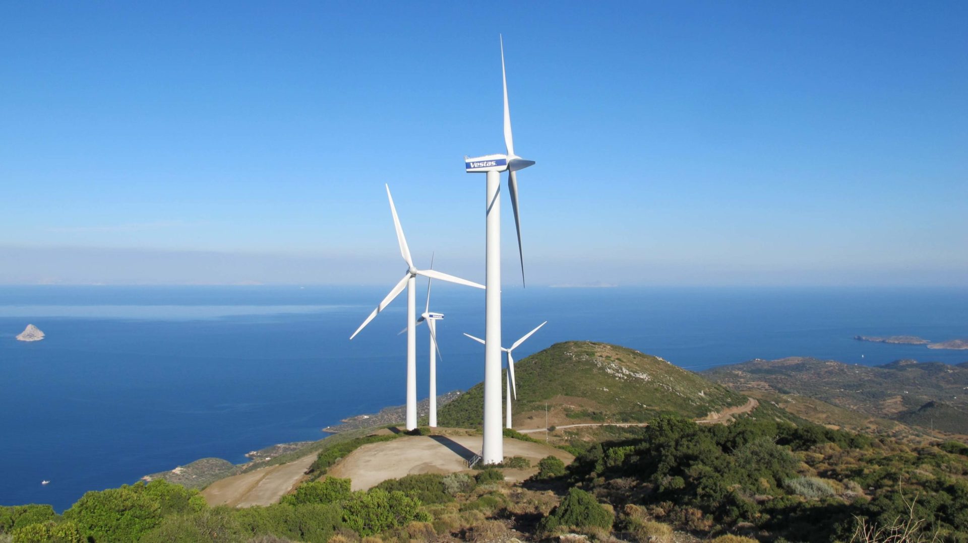
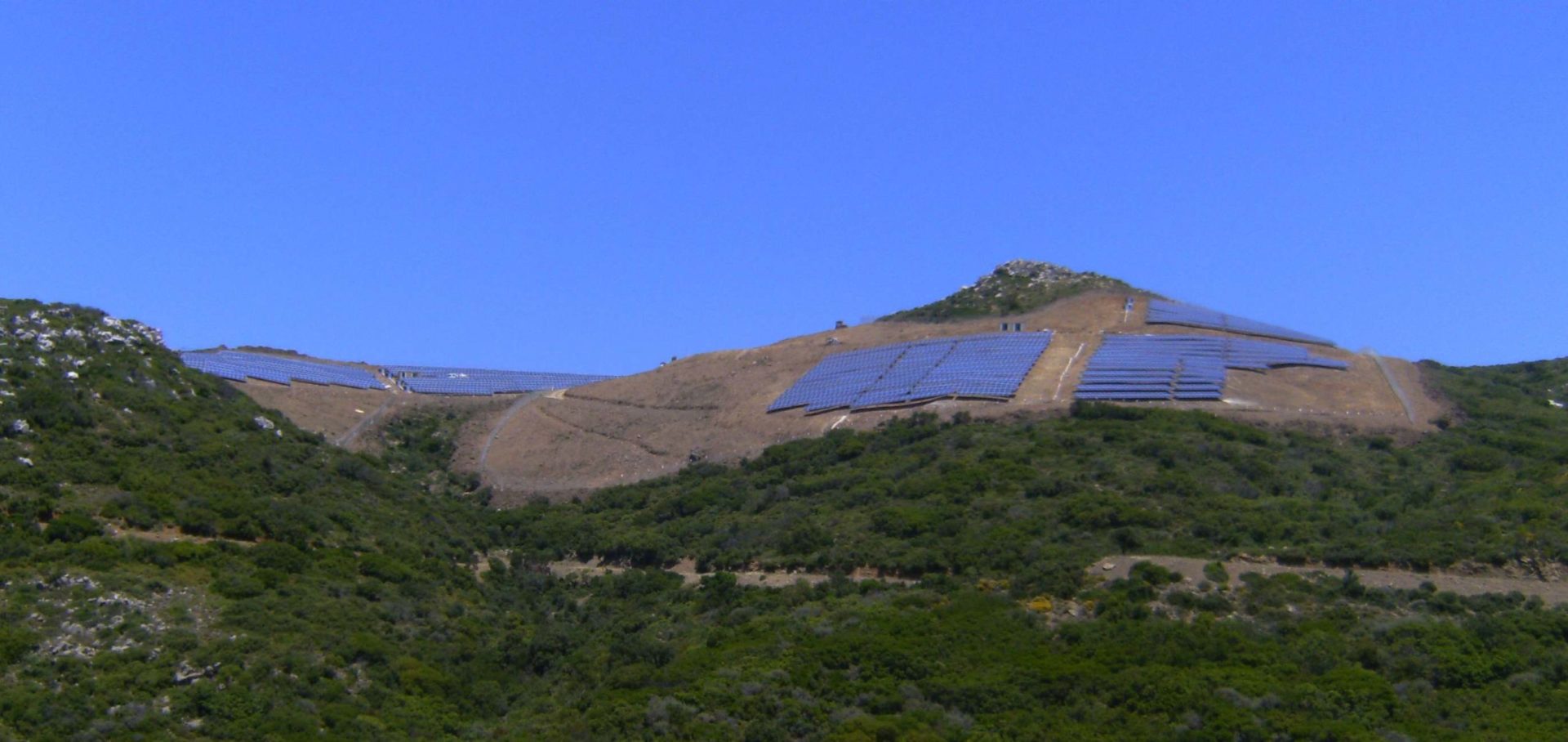
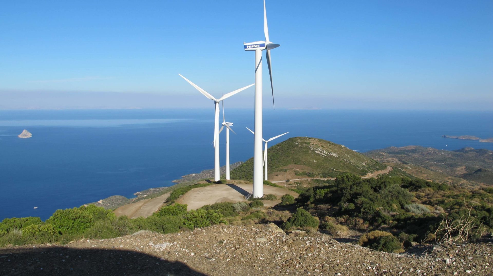
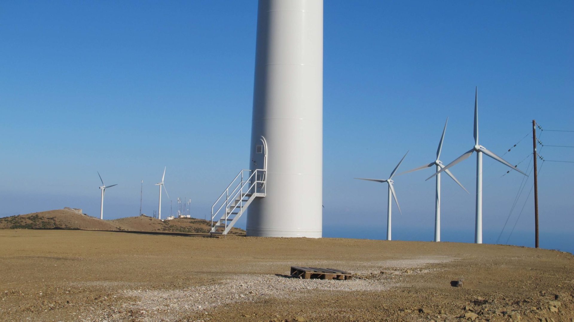


Our Projects


Contact us!
It is advisable to have someone with you who knows the property boundaries. It will be useful to have with you old topographic maps and anything related to the property (contracts, building permit plans, expropriation plans, classification deeds, cadastral maps, etc.). In case of a large area, wear comfortable clothes and shoes because we will need to walk the property’s contour to find its boundaries.
