
3D LASER SCANNING
3D Documentation using LASER SCANNER
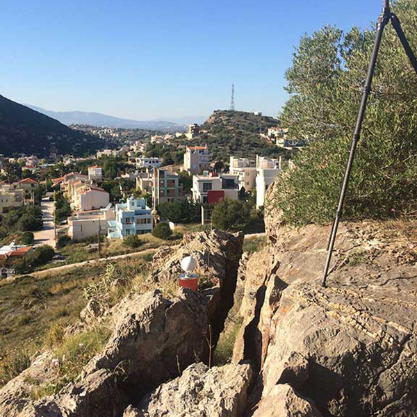
3D Documentation using Laser Scanning Technology for the drafting of maps suitable for the geological investigation, assessment and risk elimination of landslides in Porto Rafti. The project was conducted for the Municipality of Markopoulo, in cooperation with GEOPRAXIS General Partnership Geological & Geophysical Research in April 2015.
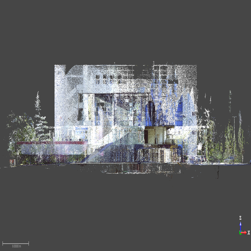
The first delivered product acquired from the terrestrial laser scanning was the point cloud data, from which numerous deliverables were produced furthermore.
• Georeferenced point cloud in real color
• Production of 3D models – DSM – DTM
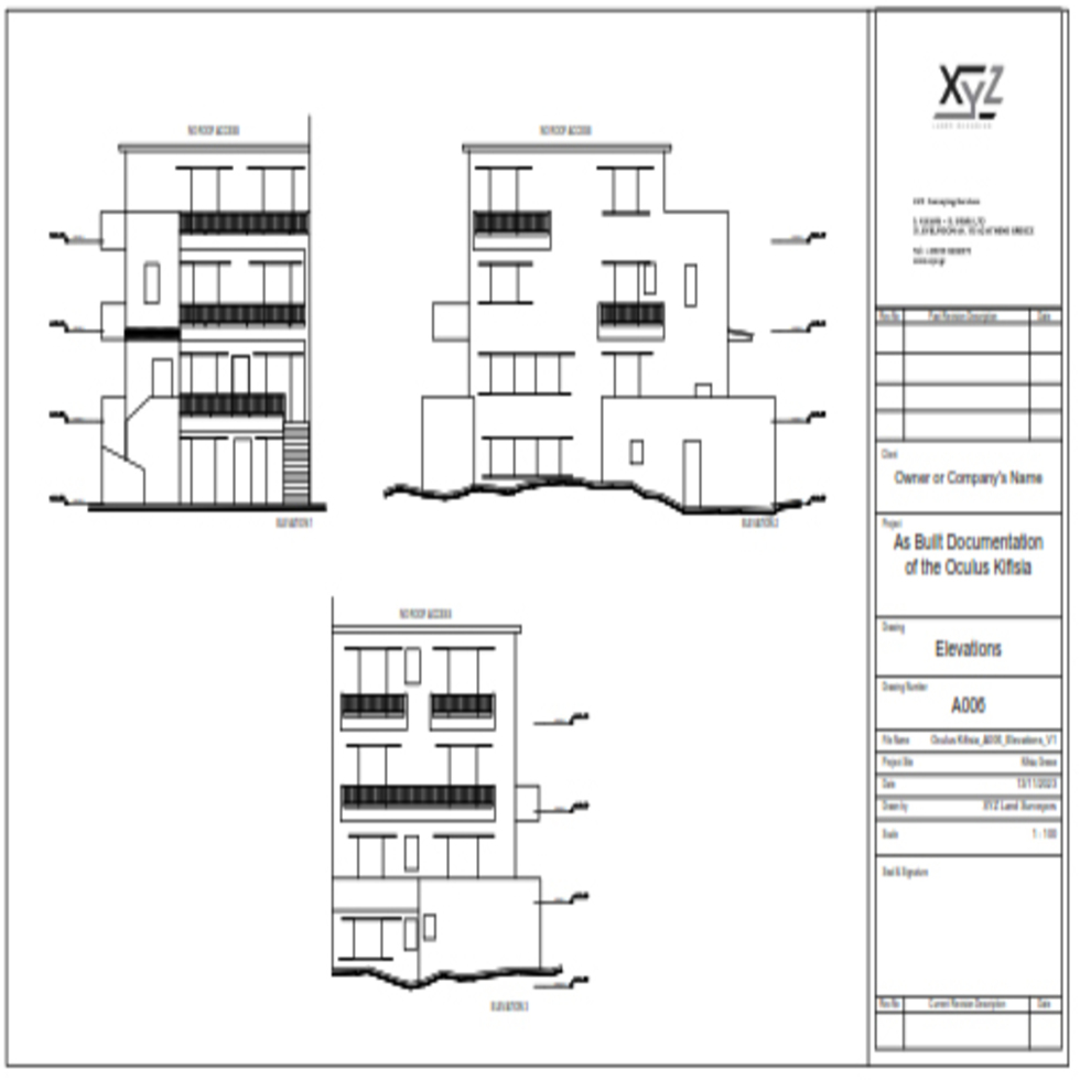
• Production of 2D Drawings: Orthophotos / Cross Sections/ Vertical sections, 25 m profiles
• Video Walk Through – Fly through
• Orthophotos – Measurable Images
• Panoramic images- Virtual Tour accessible online


