
The preexisting conditions in the surrounding area, and even within the existing building(s) itself are those which determine to the greatest extent the pending transformation.
This is why the more information available to an Architect, the less arduous his/her work will turn out during the design phase, but also during the coordination of the project team.
As a result, the more precise and accurate the documentation of existing conditions, the more certain an Architect can feel about the innovative ideas he/she presents.
The faster plans are available to them, the more time they will have to create.
The more easily they can navigate within the project space with their colleagues, the more costs can be decreased, and the more fruitful collaboration can prove to be.
With XYZ Laser Scanning and 3D Modeling Services, architects are able to have in a short amount of time complete models of buildings and of their surrounding spaces in compatible formats for familiar 3D design software (SketchUp, Revit, AutoCAD 3D).
Thus, an architect can devote his/her time directly to the composition of original ideas. Concepts difficult to materialize with other methods in the past can now be implemented.
With the high accuracy that this method achieves, structural and architectural drawings are now endowed with an undoubtful certainty, so that each structure or prefabricated building be associated with conditions that exist in the surrounding area at millimeter accuracy.
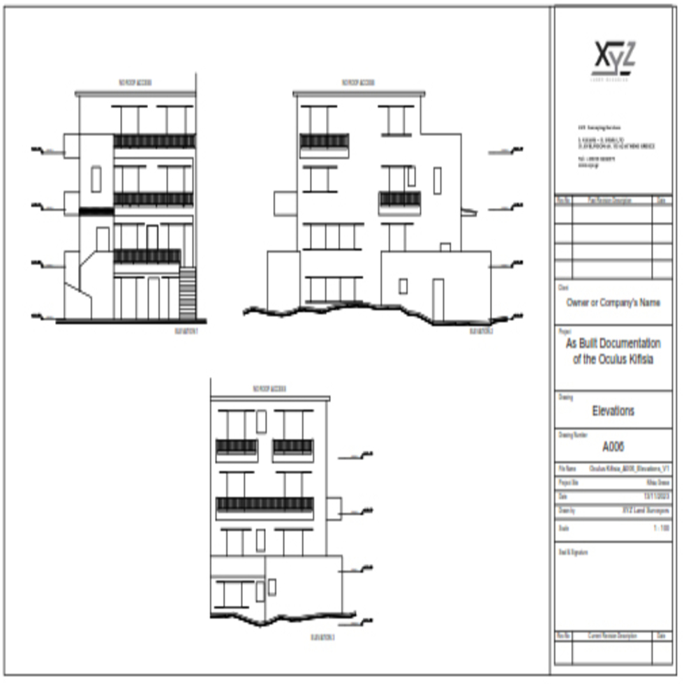
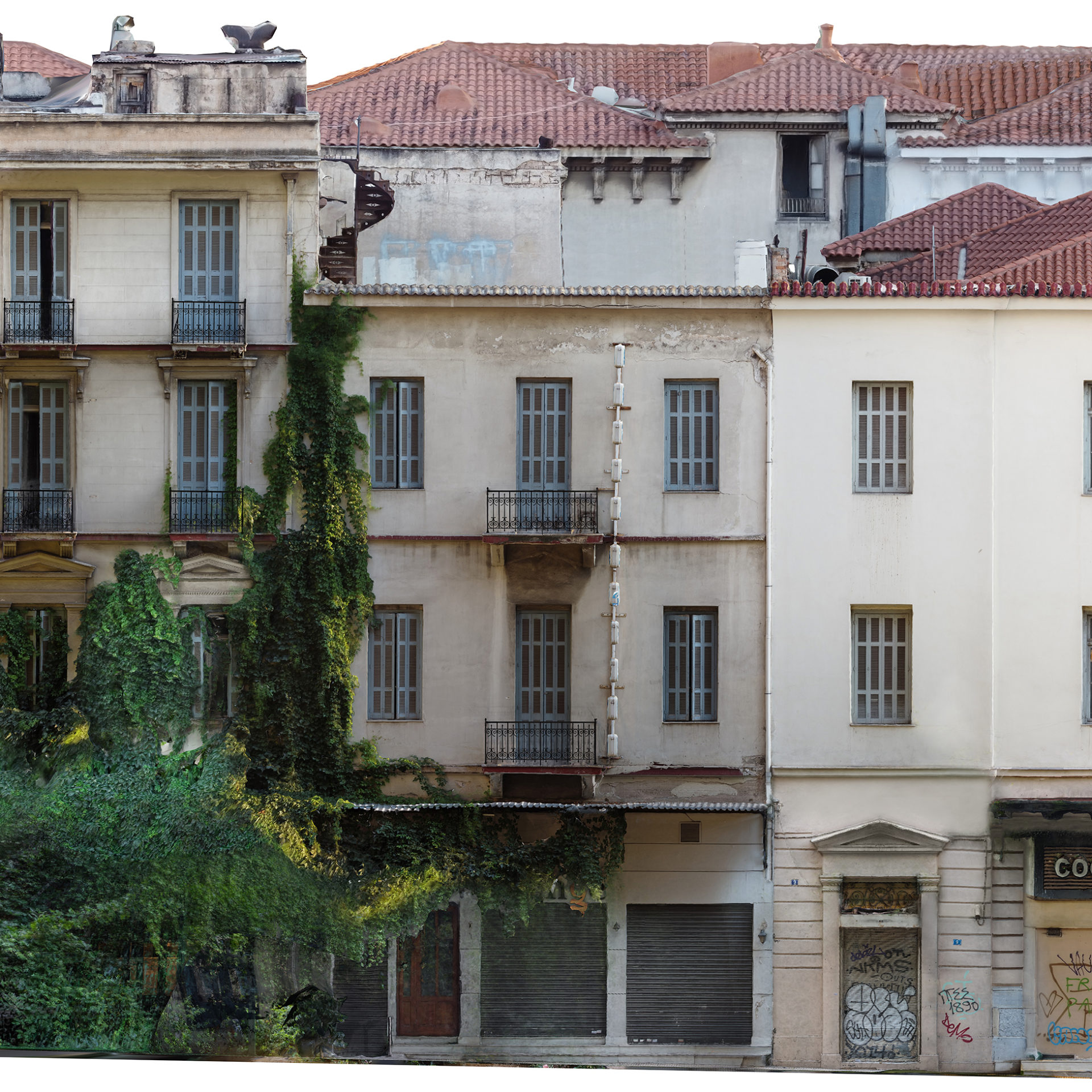
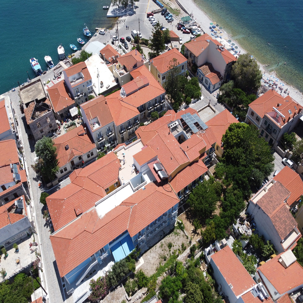
In a restoration project of a Preserved Building, Hotel Renovation or other construction we produce highly accurate (2 to 5mm) As Is Drawings rapidly.
Why with Laser Scanning;
Because now everything is really being created and presented in Three Dimensions:
- Three-Dimensional Modeling As Built with every detail
- With point densities down to 0.5mm, the scale reaches 1:1 without assumptions and generalizations
- Collision Detection. Risk-free impressions that may hold unpleasant surprises in later stages of the project
- At exceptional speeds of up to 1 million points per second!
- With an accuracy of up to 2mm in Absolute Position
- Prefabrication of large parts of the project is possible
- Fully Automated Method
- Capture all details with the same Completeness and Reliability
- Real-time results – error checking
- Texture information – reflectivity
- Lighting-independent Measurements and complete model even in total darkness
- Lower overall project costs

How do we work?
SPATIAL SCANNING – LASER SCANNING & PHOTOGRAPHY
We scan and capture your spaces with the help of a spatial scanner Terrestrial Laser Scanner with industrial geodesy accuracy that reaches up to 2mm.
The process takes from a few hours to a few days for very large projects.
The scanner captures millions of points, which are georeferenced, each point getting XYZ coordinates.
At the same time, the spaces are photographed and combined with photography that is done with the most perfect modern media.
This produces colored point clouds that contain all the primary accurate information.
These clouds after topographic processing in the office are ready to be introduced directly into programs familiar to the Architect such as Autocad, Revit, Rhino.
MODELING
Their processing with the use of specialized software programs in powerful computer systems.
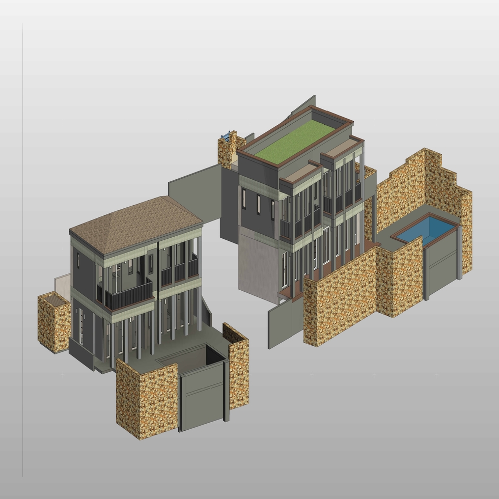
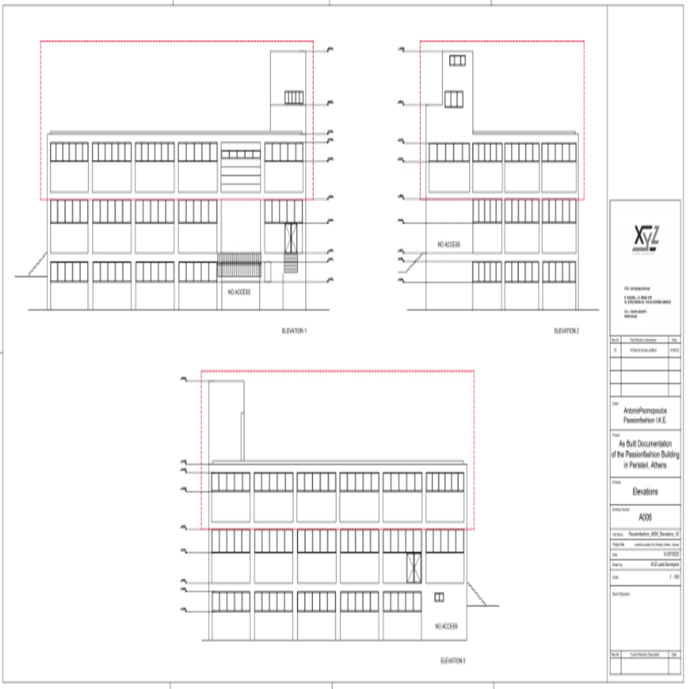
This process produces three-dimensional models for the walls and slabs of prefabricated buildings where their thickness can be controlled at any point. Sections and cross sections are produced in height but also horizontal where needed and in unlimited number.
Regardless of the complexity of the installation we produce “exactly as it is” on a scale of 1: 1 (As built models) The models can have the photographic texture of the real space or object.
INSTALLATION OF INSTALLATIONS IN THE THREE-DIMENSIONAL SPACE WE SCAN
Plan and design new additions and extensions to your facilities with precision metal construction. See if these future installations fit the already constructed space that was captured and make decisions about their final location. Check if future installations intersect with existing ones and avoid failures that will occur at the construction site.
VIRTUAL SPACE NAVIGATION
Interactive tour of the site, where the design team, project management or a potential client can share rich visual material. It is possible to measure in three dimensions in space. Decisions are made immediately.
Remote users will feel like they are there, making their job easier with less travel costs.


